
What is recorded here
Located at a graveyard (MA023-021----) on a low sand hill on the NE side of Inishkea South. There are good views to N of Inishkea North and to S of Duvillaun and Achill islands.
Indicated as ‘Church’ on the 1838 and as ‘Church (in Ruins)’ on the 1921 edition, there are now no upstanding remains of this church. It is located on the top of the broadly oval mound or sand hill that was used as a burial ground. Towards the N end of the mound a partly sod-covered concentration of large stones and slabs may incorporate remnants of the church. A cross-slab (MA023-020002-) is also located on the mound.
Compiled by: Jane O’Shaughnessy
Date of upload: 19 December 2022
The monument record does not grant public access. Check the route and ask the landowner before entering private land.
- What survives
- Recorded monument
Places near here
 RoisínIslet · 368 yd
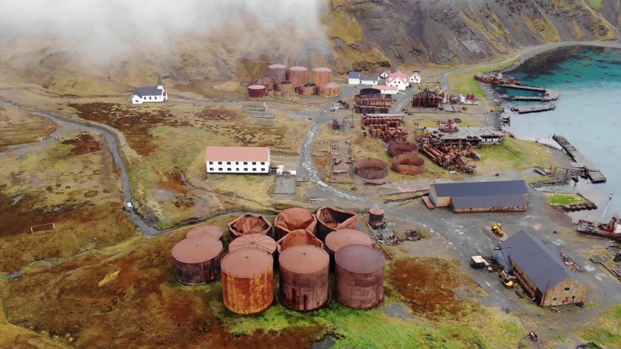 Rusheen Island Whaling StationRuins · 396 yd
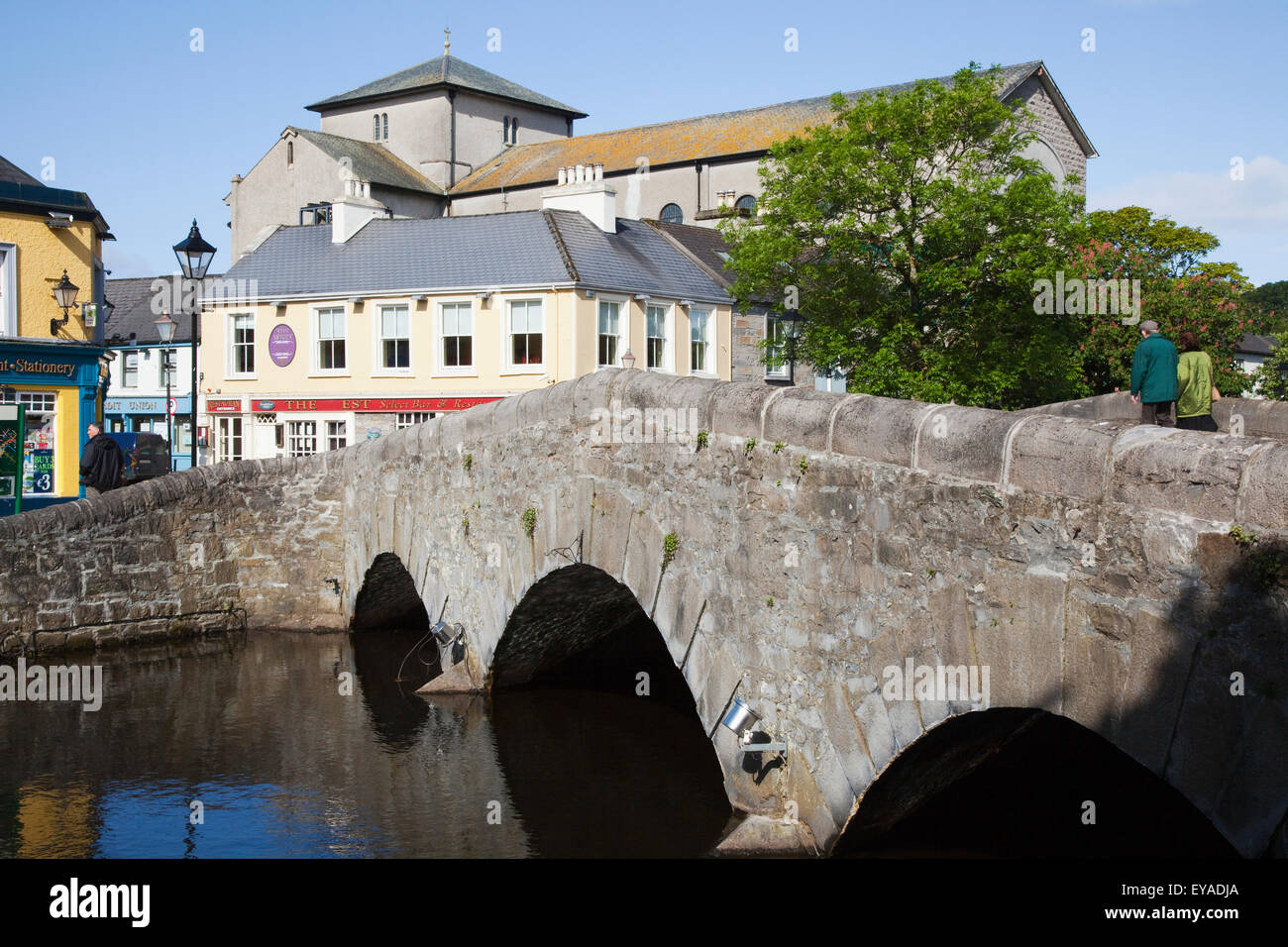 St. Derivlas WellHoly well · 613 yd
 beaconbeacon · 638 yd
 Inis Gé TheasIsland · 1199 yd
 Nunnery (Site of)Religious house, unclassified · 1428 yd
 Site of Redmond Barretts CastleCastle, unclassified · 4.3 mi
 Termon BeachBeach / strand · 4.7 mi
 Trá OilíBeach / strand · 5.7 mi
 Barranagh Castle in RuinsCastle, unclassified · 6.8 mi
 Saddle HeadHeadland · 7.2 mi
 AskilgubroenacoraghHeadland · 7.3 mi
Other information
Photo: Credit not shown in the picture search · Rights wording not checked; contact us if this picture should be removed