What is recorded here
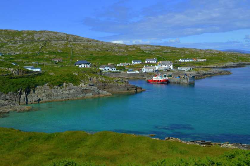
At the NE edge of a broad low sand hill in the machair plain towards the NE end of Inishkea North.
This enclosure is indicated on the 1921 OS 6-inch map, part of a settlement cluster (MA023-011----) of enclosures and houses, named ‘Turrows’. There is a house (MA023-011003-) 4m to NW, a row of three conjoined houses (MA023-011007- to MA023-011009-) 10m to E and another enclosure (MA023-011006-) 20m to NE.
Subrectangular area (16.8m N–S; 14.5m E–W) defined by low, sod-covered wall footings (Wth c. 0.7-0.8m). The inner and outer edging of the wall, formed of stones set upright or on edge, remains well defined at N, and a short length of the inner wall face, consisting of three courses, survives to a height of 0.3m at E. The enclosed space in level and grassy.
Attached images:
MA023-011002-_01.JPG Enclosure viewed from E
MA023-011002-_02.JPG Wall footings at N
MA023-011002-_03.JPG Inner wall face at E
Compiled by: Jane O’Shaughnessy
Date of upload: 9 August 2023
The monument record does not grant public access. Check the route and ask the landowner before entering private land.
- What survives
- Recorded monument
Places near here
 Inis Gé ThuaidhIsland · 524 yd
 Cross in Inis Gé ThuaidhCross · 617 yd
 DoonPromontory fort, coastal · 1503 yd
 Carraig an MhoiltIslet · 1.2 mi
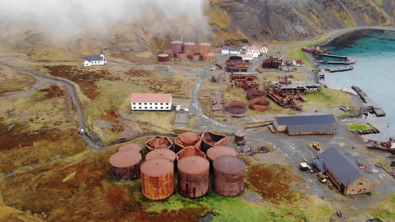 Rusheen Island Whaling StationRuins · 1.3 mi
 Church (in Ruins)Church · 1.4 mi
 Site of Redmond Barretts CastleCastle, unclassified · 3.2 mi
 Termon BeachBeach / strand · 4.2 mi
 Trá OilíBeach / strand · 4.5 mi
 Barranagh Castle in RuinsCastle, unclassified · 5.6 mi
 Cuan an Fhóid DuibhBay · 7.9 mi
 Ceann an EanaighHeadland · 8.0 mi
Other information
Photo: Credit not shown in the picture search · Rights wording not checked; contact us if this picture should be removed