
What is recorded here
Located on a rocky promontory, which projects to W from a small island, separated from the NW end of Iniskea North by a narrow tidal sea channel.
A promontory named ‘Doon’ noted by Westropp (1914, 322-323) was included by Casey (1999, 204) as a possible promontory fort. Westropp did visit not the island, but recorded that he understood that the fort was similar to examples in counties Clare and Kerry and consisted of ‘a rock platform rising from tidal reefs and walled’ (Westropp ibid.). Aerial reconnaissance by Casey (ibid.) did not confirm the presence of a promontory fort. However, a drone survey carried out on the island in August 2016 recorded the remnants of an enclosing stone rampart, which is masked in parts by storm debris (per. comm. Michael Gibbons, February 2018)
Compiled by: Jane O'Shaughnessy
Date of revised upload: 7 March 2018
The monument record does not grant public access. Check the route and ask the landowner before entering private land.
- What survives
- Recorded monument
Places near here
 Enclosure in Inis Gé ThuaidhEnclosure · 995 yd
 Inis Gé ThuaidhIsland · 1394 yd
 Carraig an MhoiltIslet · 1695 yd
 Cross in Inis Gé ThuaidhCross · 1.1 mi
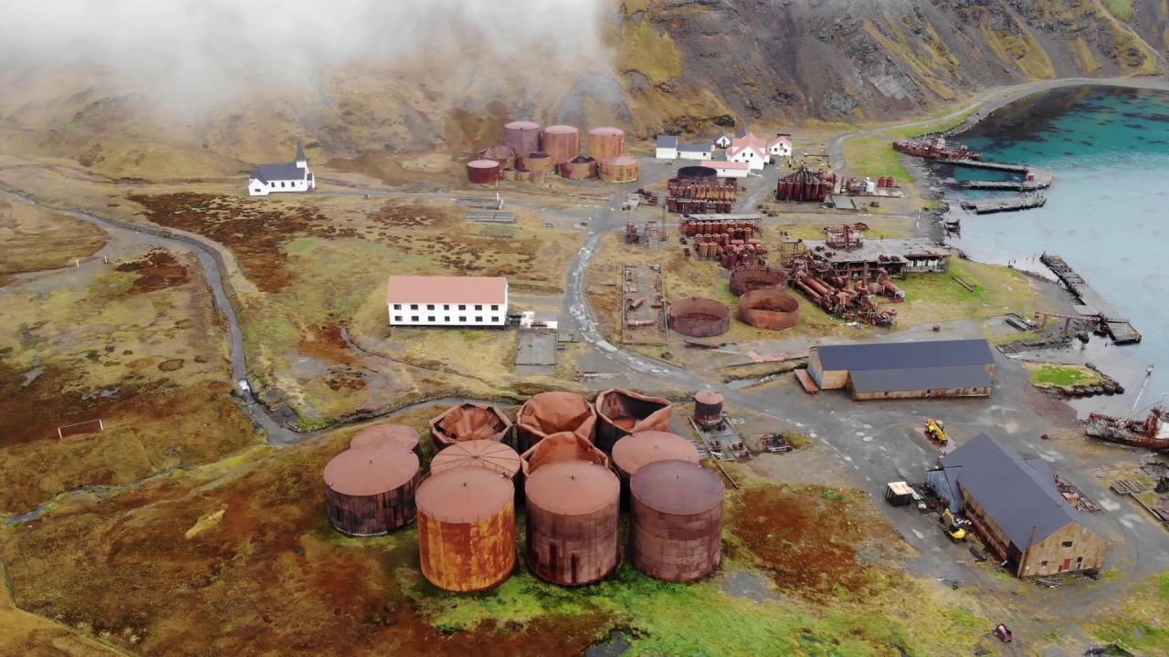 Rusheen Island Whaling StationRuins · 1.6 mi
 Church (in Ruins)Church · 1.6 mi
 Site of Redmond Barretts CastleCastle, unclassified · 4.0 mi
 Termon BeachBeach / strand · 5.1 mi
 Trá OilíBeach / strand · 5.2 mi
 Barranagh Castle in RuinsCastle, unclassified · 6.2 mi
 Ceann an EanaighHeadland · 8.0 mi
 Cuan an Fhóid DuibhBay · 8.6 mi
Other information
Photo: Credit not shown in the picture search · Rights wording not checked; contact us if this picture should be removed