Places near here
Photo credits
- Annette Clarke / Moy Davitts GAA, as credited by Western People, www.westernpeople.ie
- National Inventory of Architectural Heritage
- Pamela Norrington, Geograph · CC BY-SA 2.0
- Gareth James, Geograph · Creative Commons Attribution-ShareAlike 2.0
- Discover Ireland; photographer not stated, Discover Ireland
- Knockmore GAA Club via Smart Lotto; individual photographer not stated, smartlotto.ie
- Golfing in Ireland; photographer not stated, Source publisher
- Ridiculopathy, Wikimedia Commons · CC0
 Srath Garbh, Bohola-Moy Davitts, FoxfordGAA ground · 1.2 mi
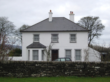 rectory/glebe/vicarage/curate's house1.4 mi
Explorer Tom Rectory in Foxford is where the vicar lives, or at least that’s what the sign says. John Gervais Skipton designed it to…
 bridge1.4 mi
Explorer Tom Bridge in Stonehall has an escape plan involving a very narrow gap and a lot of pretending it’s not scared. The first…
 handball alley1.8 mi
Explorer Tom The handball alley in Bellass was built by Mother Mary Arsenius Morrogh-Bernard, who clearly wanted to keep the locals…
 Foxford Railway StationBuilding misc · 2.2 mi
Explorer Tom Foxford Railway Station is just an overgrown water tower now that the actual station is gone, looking rather…
 Father Peyton CentreVisitor attraction · 3.2 mi
Explorer Tom The Father Peyton Centre in Attymass tells how a boy from the Mayo countryside became a priest whose family prayer…
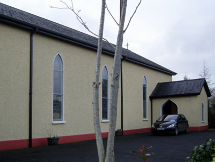 Catholic Church of the Immaculate Conception and Saint JosephChurch/chapel · 3.3 mi
Explorer Tom This Kilgellia church has a strong opinion about the road leading to it; it thinks you should walk more to humble…
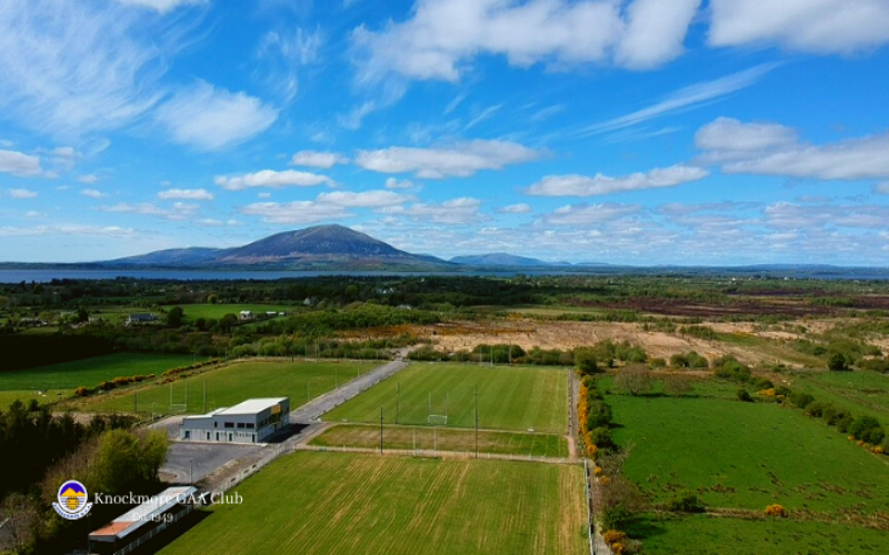 Knockmore, Knockmore GAAGAA ground · 3.5 mi
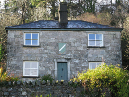 Pontoon Constabulary BarrackGarda station/constabulary barracks · 5.1 mi
Explorer Tom Pontoon Constabulary Barrack in Knockaglana is dressed up like a bank but guarding nothing. If it won the lotto, it’d…
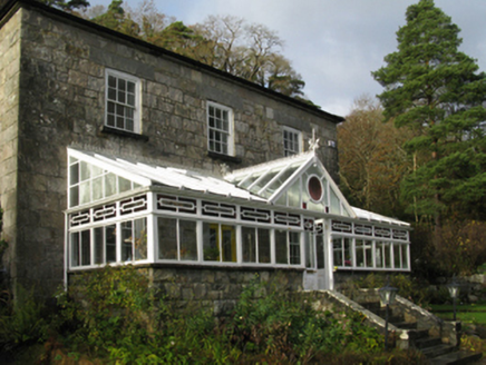 The LodgeHotel · 5.1 mi
Explorer Tom The Lodge was built by an Earl who thought he could outdo nature with a nice view of Lough Cullin. A poet fell in the…
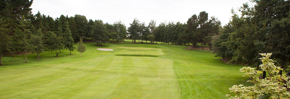 Ballina Golf ClubGolf course · 7.3 mi
 Cross-inscribed pillar in LankillCross-inscribed pillar · 24 mi
Explorer Tom Cross-inscribed pillar in Lankill would be the uncle who shows up late but steals the show with his stories. It’s tall…
More archaeology and monuments in County Mayo · All of County Mayo

What do you know about this place?Tap to add a comment or ask a question