
Places near here
Photo credits
- National Inventory of Architectural Heritage
- Pamela Norrington, Geograph · CC BY-SA 2.0
- Ken Ratcliff, Wikimedia Commons · CC BY 2.0
- Shanehahaha, Wikimedia Commons · CC BY-SA 3.0
- Pamela Norrington, Geograph · Creative Commons Attribution-ShareAlike 2.0
- Maker named on the Wikimedia Commons picture page · Public domain
- John D. Reigh, Wikimedia Commons · Public domain
- Liz McCabe, Geograph · CC BY-SA 2.0
- Paul Cowan, Wikimedia Commons · CC BY-SA 2.0
 mill (water)1500 yd
Explorer Tom Mill in Bellavary claims a family tree that is mostly made up of lies. The ivy covers everything except the truth about William Malley’s bankruptcy. It's the kind of place that whispers secrets to the wind.
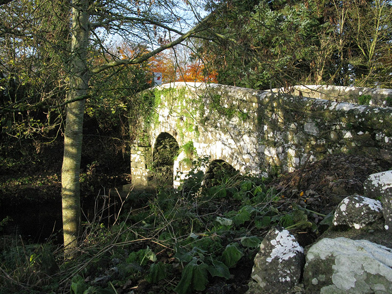 bridge1.2 mi
 Ballylahan Castle in RuinsCastle, Anglo-Norman masonry castle · 2.5 miBallylahan CastleCastle · 2.5 mi
 TowerRound tower · 3.1 mi
Explorer Tom Tower in Turlough is the only thing left from an early medieval monastery that probably smelled terrible. The shortcut up there isn't really a shortcut at all, trust me. Grand place for a sulk or a snog, your call.
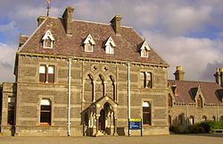 National Museum of Ireland, Country LifeMuseum · 3.2 mi
 Grave YardGraveyard · 4.1 mi
Explorer Tom Graveyard in Toomore would order extra vinegar on its chips because it likes things sharp and memorable. It recently got a new shrine, which is basically a fancy hat for the entrance. If it's closed, admire it from the road like a polite stalker.
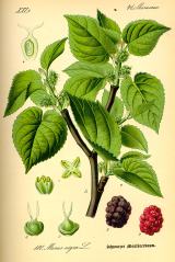 Black mulberry5.9 mi
Explorer Tom Black mulberry would use a lotto win to buy every single berry in County Mayo and eat them all at once. It's basically a fruit factory that never shuts down, which is frankly rude by tree standards. Look up, the best bit is always higher than you think.
 Battle of CastlebarMajor battlefield · 7.2 mi
 BurrenMountain / peak · 8.2 mi
 Titanic Memorial ParkMemorial · 12 mi
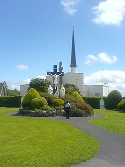 Knock ShrineHeritage attraction · 12 mi
More archaeology and monuments in County Mayo · All of County Mayo

What do you know about this place?Tap to add a comment or ask a question