What is recorded here
Situated in woodland area on a headland overlooking Lough Ree 90m to W. Multi-period two storey high house with earliest phase represented by an 18th century single pile house aligned WSW-ENE that is depicted on the 1837 ed. OS 6-inch map. This single pile, two bay house (Wall T 0.6m) was extended to the N, S and E between the 19th and 20th centuries. The original single pile two storey house had two rooms at ground and first floor levels with a central chimney stack with fireplaces on both faces at both levels. A large ground floor fireplace and possible wall oven in E face indicates possible location of kitchen. At first floor level there is a slit ope window in the E gable of the house which was later blocked up with brick. A flat headed doorway with roughly dressed voussoirs is visible in centre of E wall at ground floor level.
Compiled by: Caimin O'Brien
Date of upload: 16 April 2018
The monument record does not grant public access. Check the route and ask the landowner before entering private land.
- What survives
- Recorded monument
Places near here
 IllanheelanIslet · 872 yd
 Portlick Millennium ForestWood · 1030 yd
 IllanfanIslet · 1132 yd
 Traveen PointHeadland · 1520 yd
 Cross in Killinure NorthCross · 1592 yd
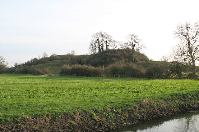 Portlick MotteArchaeological place · 1605 yd
 Church in PortlickChurch · 1625 yd
 Traveen BayBay · 1638 yd
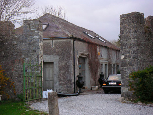 Portlick Castlestables, farmyard complex · 1646 yd
 Siege of Athlonesiege · 3.8 mi
 RindoonWood · 4.1 mi