
What is recorded here
In pasture, located on a low hill at the landward end of a peninsula, which extends for c. 500m to W into the NE end of Lough Conn. The peninsula is defined on it N side by the mouth of the River Deel, which lies c. 200m to NW of the enclosure, and on it S side by a small bay, c. 150m S of the enclosure. This monument…
Read the whole record
From the National Monuments Service (Archaeological Survey of Ireland) record MA038-017
Places near here
Photo credits
- Maker not stated on source page, en.wikipedia.org
- Maker not stated on source page, www.express.co.uk
- Maker not stated on source page, commons.wikimedia.org
- Ray Martin, Wikimedia Commons · Public domain
- Maker not stated on source page, www.pinterest.com
- Maker not stated on source page, www.alamy.com
- Maker not stated on source page, uk.pinterest.com
- Mike Searle, Wikimedia Commons · CC BY-SA 2.0
- National Inventory of Architectural Heritage
- Maker not stated on source page, www.dreamstime.com
- David Farrell Photography / Western People, www.westernpeople.ie
- Connaught Telegraph; photographer not named, www.con-telegraph.ie
 Castle KellyArchaeological place · 680 yd
Explorer Tom Castle Kelly in County Mayo is an archaeological site that must have taken a ridiculous number of cups of tea to build.…
 Children's burial ground in Inishlee IslandChildren's burial ground · 1651 yd
Explorer Tom Children's burial ground in Inishlee Island is hiding a treasure that’s definitely just a rusty biscuit tin from 1974.…
 Burial ground in Inishlee IslandBurial ground · 1652 yd
Explorer Tom Burial ground in Inishlee Island thinks the postman owes it money and hasn't forgiven him yet. The island is called…
 Castle GoreWalled garden · 1657 yd
Explorer Tom Castle Gore has a walled garden where the ghost is too lazy to haunt, preferring to nap in the rose bushes instead.…
 Inishlee IslandIslet · 1660 yd
Explorer Tom Inishlee Island refuses to fall down because it’s too stubborn to admit it’s tired. It thinks gravity is just a…
 CastleHouse, fortified house · 1663 yd
Explorer Tom The fortified house in Deelcastle would post a selfie with its windows crossed and say 'living my best life'. It’s…
 Keel CastleCastle · 1669 yd
Explorer Tom Keel Castle would teach history by saying that everyone was just trying not to get wet and angry at the same time. It’s…
 Deel CastleCastle · 1.1 mi
Explorer Tom Deel Castle claims it smuggled moonshine in barrels back in the day, but I suspect it just hid its own bad breath. It’s…
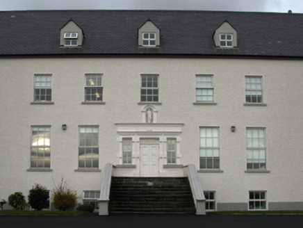 Gortnaraby HouseCountry house · 1.6 mi
Explorer Tom Gortnaraby House in Gortnaraby was built by someone who really liked looking at Lough Conn and felt very superior about…
 Jesus and Mary CemeteryCemetery · 1.7 mi
Explorer Tom Jesus and Mary Cemetery in County Mayo was taken over by a fox who decided it was the perfect spot for a nap. The…
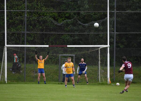 St. Tiernan's Park, Crossmolina Deel RoversGAA ground · 2.0 mi
 Ardagh, Ardagh GAAGAA ground · 2.0 mi
More archaeology and monuments in County Mayo · All of County Mayo

What do you know about this place?Tap to add a comment or ask a question