
What is recorded here
Situated on a knoll that is located towards the bottom of a NE-facing slope. It is represented as a large embanked enclosure (ext. diam. c. 65m) on the 1836 edition of the OS 6-inch map and as a large subcircular enclosure (dims c. 60m x c. 55m) defined by a field bank on the 1908 edition. This is a large grass-covered area (diam. 56.5m E-W; 56m N-S) with some rock outcrop defined by a slight earthen bank (at NW: Wth of base 3.2m; int. H 0.5m; ext. H 1.2m) with some bushes and an external stone facing. There is no visible fosse but there is an entrance break in the bank (Wth of base 1.8m) at ESE. Although there is no evidence that it was planted with trees it could be a landscape feature.
The above description is derived from the published 'Archaeological Inventory of County Meath' (Dublin: Stationery Office, 1987). In certain instances the entries have been revised and updated in the light of recent research.
Compiled by: Michael Moore
Date of revision: 31 August 2018
A local fairy fort (ringfort/rath); wider significance not recorded.
The monument record does not grant public access. Check the route and ask the landowner before entering private land.
- What survives
- Recorded monument
Places near here
 Portal tomb in ErveyPortal tomb · 546 yd
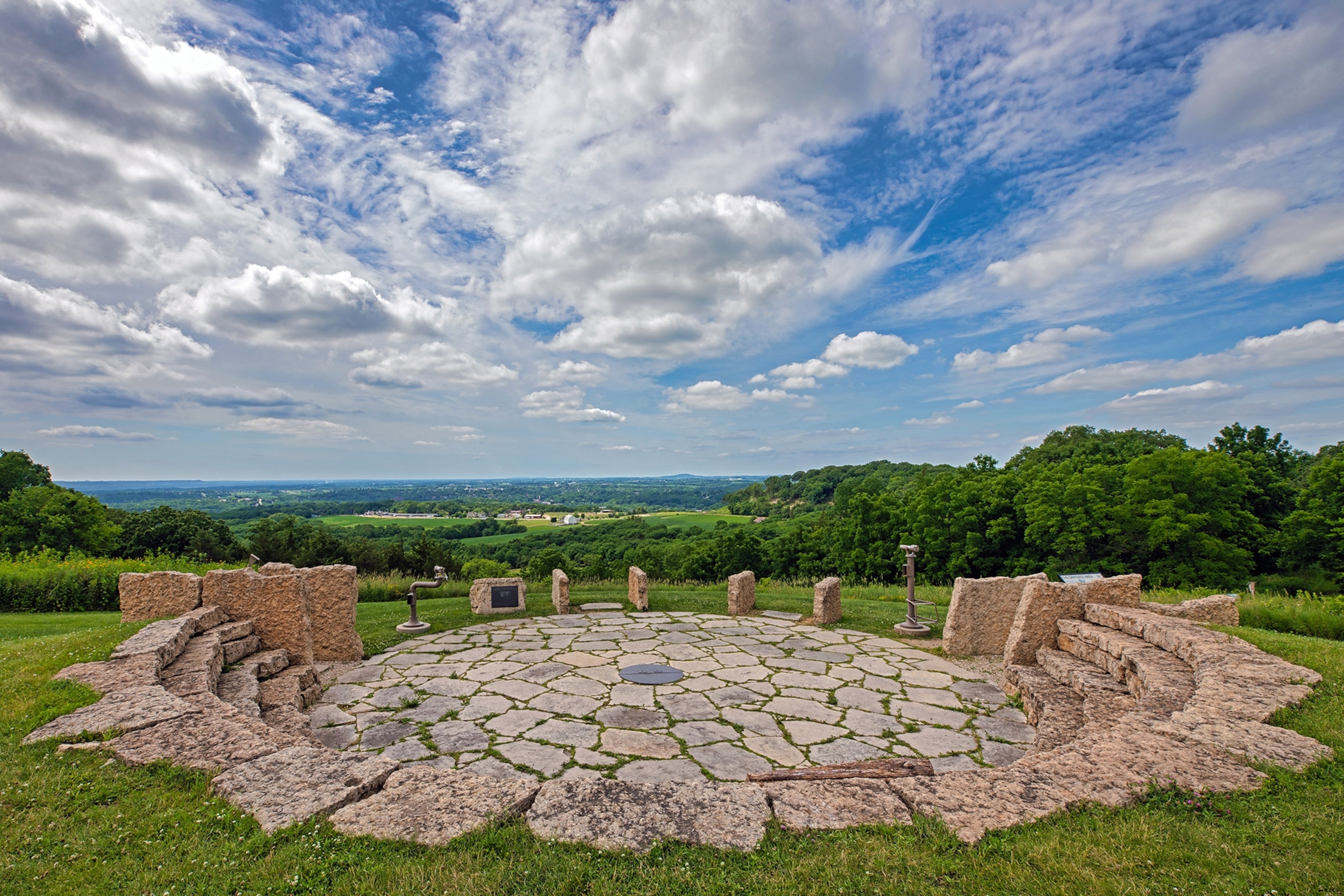 Rockeys FortFairy fort / earthen ringfort · 1740 yd
 Miltown GlenWood · 1.1 mi
 The CurraghWood · 1.2 mi
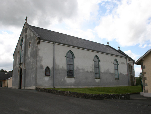 Our Lady of Mount Carmelchurch/chapel · 2.0 mi
 Church of the Immaculate Conceptionchurch/chapel · 2.1 mi
 Castle in ruinsCastle, unclassified · 2.3 mi
 Fair of MuffMemorial · 2.4 mi
 CabraMountain / peak · 2.9 mi
 Castle ruinsCastle, unclassified · 3.2 mi
 In Memory of Our DadMemorial · 3.2 mi
 TeevurcherMountain / peak · 3.5 mi
Other information
Photo: Credit not shown in the picture search · Rights wording not checked; contact us if this picture should be removed