What is recorded here
Indicated is a fairy fort in County Cavan, Ireland. It is a raised circular area with a low earthen bank. The bank is visible only from some directions. A modern field boundary touches part of the ring. The shape still stands out in the flat countryside.
Depicted as a tree-ring on OS 1836 and 1876 eds. Raised circular area (int. diam. 36.4m) enclosed by a low earthen bank identifiable only from SSE-S and from W-NW-N. A modern field boundary has been built against the scarp from N-E-S. An earlier report (OPW 1969) suggested that the original entrance may have been at NW.
The above description is derived from the published 'Archaeological Inventory of County Cavan' (Dublin: Stationery Office, 1995). In certain instances the entries have been revised and updated in the light of recent research.
Date of upload/revision: 22 December 2008
The monument record does not grant public access. Check the route and ask the landowner before entering private land.
- What survives
- Recorded monument
Places near here
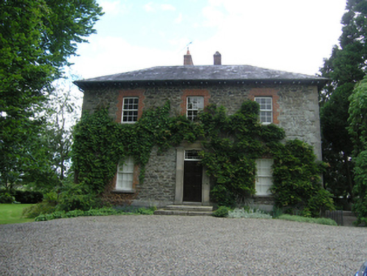 Millvalemiller's house · 436 yd
 Gallows HillFairy fort / earthen ringfort · 564 yd
 Gallow's HillWood · 587 yd
 Site of Old CastleCastle, unclassified · 688 yd
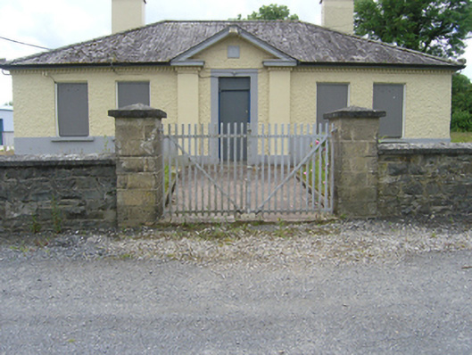 Tullyvin Garda Stationgarda station/constabulary barracks · 817 yd
 IndicatedFairy fort / earthen ringfort · 880 yd
 Tullyvin WoodForest · 1069 yd
 CorickMountain / peak · 1183 yd
 DernaskeaghMountain / peak · 1391 yd
 Bawn in DrumsheilBawn · 1472 yd
 Giants GraveArchaeological place · 1.9 mi
 Giant's GraveArchaeological place · 2.0 mi