
What is recorded here
Depicted as a tree-ring on OS 1836 and 1876 eds. Raised circular area (int. diam. 28.6m) enclosed by slight traces of a low earthen bank. The site has been modified as a tree-ring and a relatively modern earthen bank with an external trench constructed outside the bank of the rath. Original entrance not recognisable.
The above description is derived from the published 'Archaeological Inventory of County Cavan' (Dublin: Stationery Office, 1995). In certain instances the entries have been revised and updated in the light of recent research.
Date of upload/revision: 22 December 2008
A local fairy fort (ringfort/rath); wider significance not recorded.
The monument record does not grant public access. Check the route and ask the landowner before entering private land.
- What survives
- Recorded monument
Places near here
 Gallow's HillWood · 26 yd
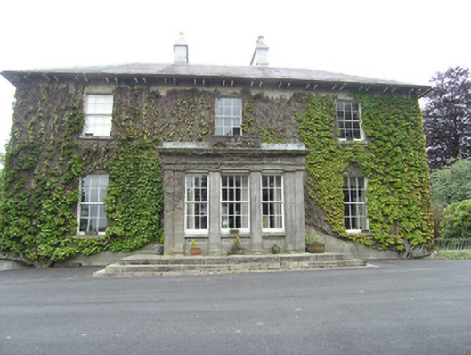 Tullyvin Housecountry house · 377 yd
 Site of Old CastleCastle, unclassified · 447 yd
 Tullyvin WoodForest · 563 yd
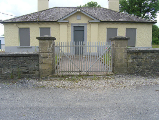 Tullyvin Garda Stationgarda station/constabulary barracks · 624 yd
 IndicatedFairy fort / earthen ringfort · 768 yd
 CorickMountain / peak · 947 yd
 Drummury FortArchaeological place · 1520 yd
 Bawn in DrumsheilBawn · 1.0 mi
 DernaskeaghMountain / peak · 1.1 mi
 Giants GraveArchaeological place · 1.8 mi
 Giant's GraveArchaeological place · 2.3 mi
Other information
Photo: Credit not shown in the picture search · Rights wording not checked; contact us if this picture should be removed