What is recorded here
On a slight E-facing slpoe at the E foot of Slieve Bawn. Circular grass-covered platform (diam. 26m N-S; 25m E-W; H 0.6-0.9m) defined by a flat-bottomed fosse (Wth of top 3-3.7m; Wth of base 1.8-2.2m; D 0.4-0.7m) and an outer flat-topped bank (Wth of base 3.4-4.6m; Wth of top 2.2-2.6m; H 0.8-0.9m) with mature deciduous trees and scrub. There is no visible entrance.
Compiled by: Michael Moore
Date of upload: 24 August 2010
A circular grass-covered platform defined by a fosse, likely a Neolithic ring barrow or enclosure; its significance is primarily in its structural features and potential ritual or funerary use.
The monument record does not grant public access. Check the route and ask the landowner before entering private land.
- What survives
- Recorded monument
Places near here
 R. C. ChapelChurch · 863 yd
 IndicatedFairy fort / earthen ringfort · 1074 yd
 Doughill ForestForest · 1.3 mi
 Slieve BawnMountain / peak · 1.3 mi
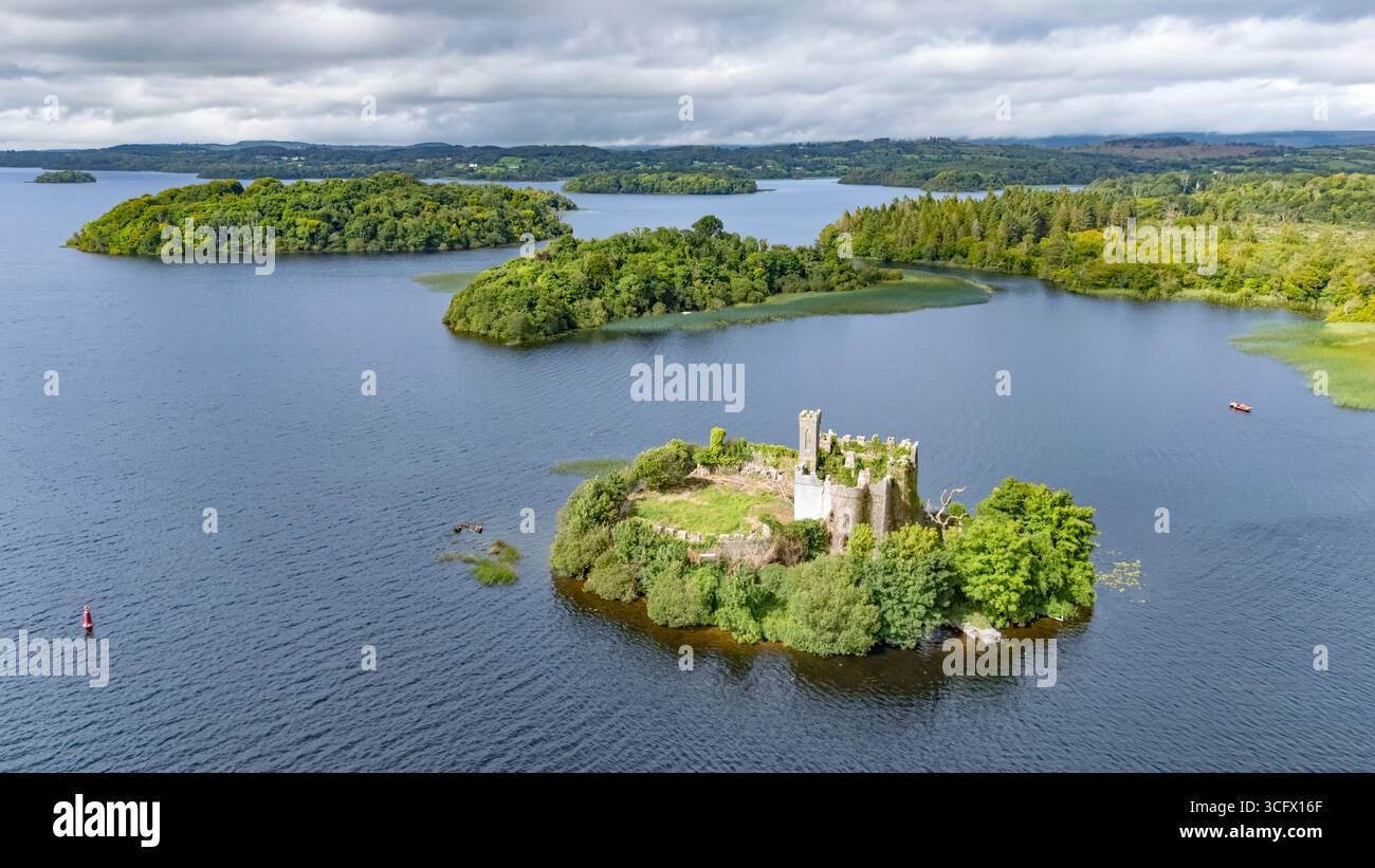 Embanked enclosureFairy fort / earthen ringfort · 2.2 mi
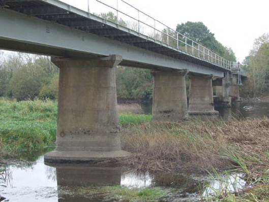 bridgebridge · 2.6 mi
 Commons North WalkVisitor information · 4.1 mi
 Strokestown ParkHeritage attraction · 4.3 mi
 Ballyclare IslandIslet · 4.3 mi
 Wild birdsVisitor information · 4.3 mi
 Strokestown House GardensHeritage attraction · 4.3 mi
 Common LimeCommon Lime · 4.4 mi