
What is recorded here
Situated on a low rise in undulating pasture. Raised circular area (24m NE-SW; 21m NW-SE) enclosed by a wide bank (Wth 7.5m; int. H 0.45m; ext. H 1.6m at S, 2.4m at N). Original entrance not recognisable. Centrally located within the internal area is a possible hut site (SL017-043002-). Within the SW quadrant is a raised area which according to local tradition marks the site of a Man-made underground passage (SL017-043003-).
Compiled by: Patrick F. O'Donovan
Date of upload: 19 January 2011
The monument record does not grant public access. Check the route and ask the landowner before entering private land.
- What survives
- Recorded monument
Places near here
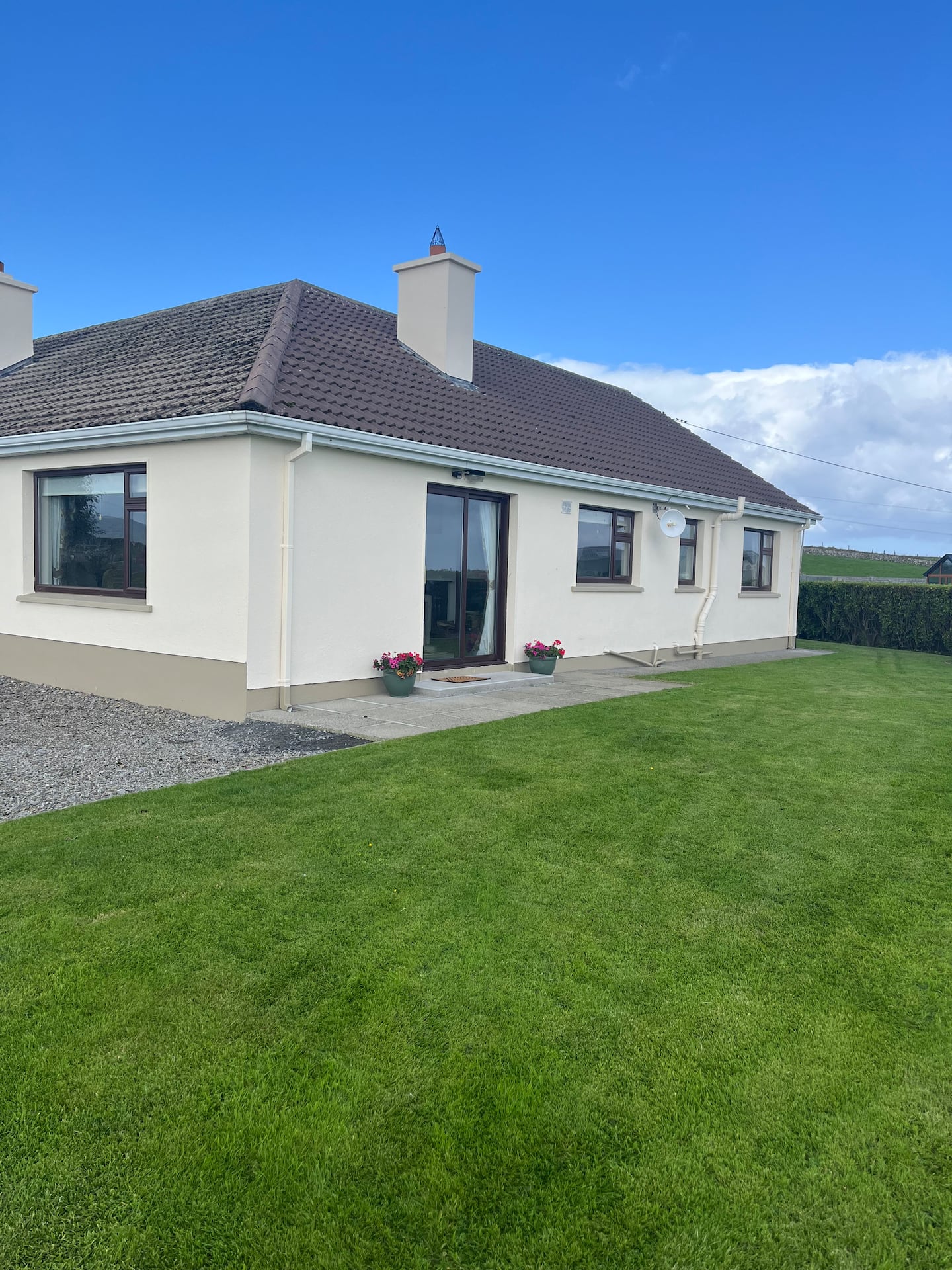 Enclosure in CulleensEnclosure · 1532 yd
 Enclosure in Carns (tireragh By.)Enclosure · 1.3 mi
 CastleCastle, unclassified · 2.0 mi
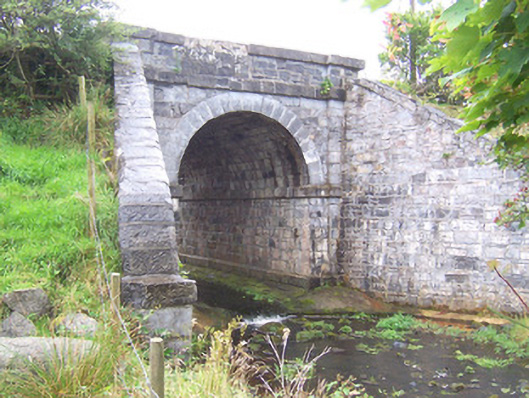 bridgebridge · 2.4 mi
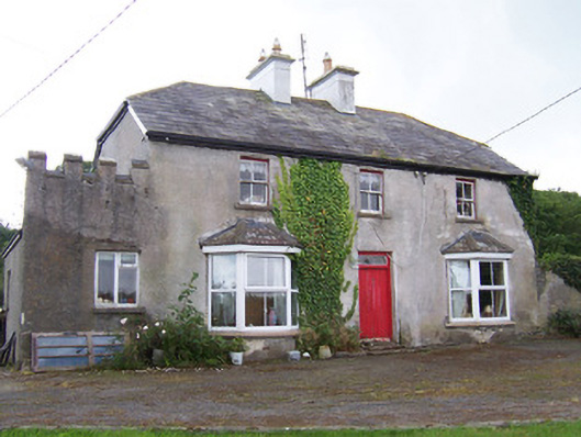 Meadowsidehouse · 2.5 mi
 Grave of the Black PigArchaeological place · 3.2 mi
 Wild Atlantic Way: Inishcrone PierVisitor information · 3.7 mi
 The Black PigMemorial · 3.8 mi
 Castle FirbisCastle, tower house · 3.8 mi
 Enniscrone BeachBeach / strand · 4.3 mi
 Rathlee HeadHeadland · 5.8 mi
 Split RockNamed rock · 6.2 mi
Other information
Photo: Credit not shown in the picture search · Rights wording not checked; contact us if this picture should be removed