What is recorded here
Indicated, Tully (granard By.) is a vanished bawn beside an unclassified castle in County Longford, Ireland. Its rectangular shadow measured about thirty-seven by thirty-four metres on the 1837 map, but now only grass-covered wall footings remain. It may have been a kitchen yard, guard room or storage court for the castle, yet no surviving trace records that use.
Associated with an unclassified castle (LF015-016----). Shown on the OS Fair Plan immediately to the SW of the castle, suggesting that it may have been an associated bawn. On the 1837 edition of the OS 6-inch map it is indicated as a rectangular field (c. 37m NE–SW; c. 34m NW–SE). Apart from the grass-covered outline of the wall-footings of these walls, no visible surface trace survives.
Compiled by: Olive Alcock
Date of upload: 9 October 2012
The monument record does not grant public access. Check the route and ask the landowner before entering private land.
- What survives
- Recorded monument
Places near here
 CastleCastle, unclassified · 13 yd
 Walshs FortFairy fort / earthen ringfort · 380 yd
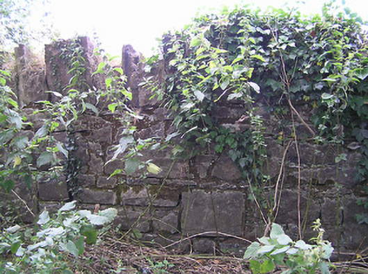 demesne walls/gates/railingsdemesne walls/gates/railings · 587 yd
 Enclosure in Tully (granard By.)Enclosure · 620 yd
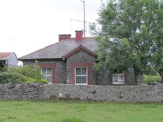 worker's house, houseworker's house, house · 1036 yd
 Moat & FortCastle, motte and bailey · 1.8 mi
 Clonfin Ambush MemorialMemorial · 1.9 mi
 Cloonfin WoodForest · 3.1 mi
 Granard MotteMotte-and-bailey castle remains · 3.4 mi
 1798 Monumentmonument · 3.5 mi
 Edgeworthstown BypassMemorial · 3.8 mi
 Ballinalee Forest WalkForest · 4.5 mi