What is recorded here
Situated on flat bogland which is being worked on by Bord Na Mona, unable to locate mound in area marked on OS 6-inch map. Not depicted on the first edition OS 6-inch map, and mound may possibly be related to the nearby Trig. Station, possible sappers station. The mound staddles the county boundary of Tipperary and Kilkenny and is recorded in the latter as KK007-017----.
Compiled by: Jean Farrelly and Caimin O'Brien
Date of upload/revision: 22 September 2008
The monument record does not grant public access. Check the route and ask the landowner before entering private land.
- What survives
- Recorded monument
Places near here
 Burnt spread in DerryvilleBurnt spread · 1.1 mi
 Fulacht fia in DerryvilleFulacht fia · 1.1 mi
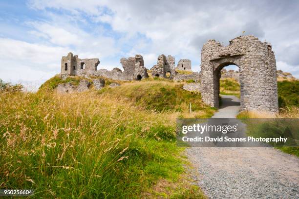 Baunaghra Ho. (in ruins)Castle, unclassified · 1.4 mi
 Castle PierceHouse, fortified house · 1.5 mi
 Killoran Housecountry house · 2.2 mi
 Tullow HillMountain / peak · 2.2 mi
 Clonmeen WoodWood · 3.4 mi
 Cnoc SeanrathaMemorial · 3.7 mi
 DelaneyMemorial · 5.2 mi
 Pheasant IslandHeritage attraction · 8.9 mi
 Lár na PáirceMuseum · 9.1 mi