What is recorded here
In the grounds of the former country house called ‘St. Austin’s Abbey’ and c. 75m NW of the River Slaney. A circular enclosure (diam. c. 26m) visible as a cropmark on OS Ortho satellite imagery (viewed 21 February 2022), identified and reported by Ruaidhrí O’Maolagáin. This is not indicated on the 1st (c. 1840) ed. OS 6-inch map but is indicated as a tree-ring on the subsequent revision. It appears to be a designed landscape feature contemporary with St. Austin’s Abbey, a French Gothic style country house built c. 1856 and burnt down c. 1921 (https://www.buildingsofireland.ie/buildings-search/building/10400328/saint-austins-abbey-house-tullowbeg-tullow-carlow; viewed 21 February 2022). Another roughly triangular tree-ring is also depicted on the 2nd ed. OS 6-inch map c. 60m to the NE and is also visible as a cropmark.
See attached:
CW008-102----_01 OS Ortho satellite imagery (viewed 21 February 2022)
Compiled by: Jean Farrelly
Date of upload: 21 February 2022
The monument record does not grant public access. Check the route and ask the landowner before entering private land.
- What survives
- Recorded monument
Places near here
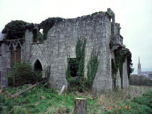 Saint Austin's Abbeycountry house · 429 yd
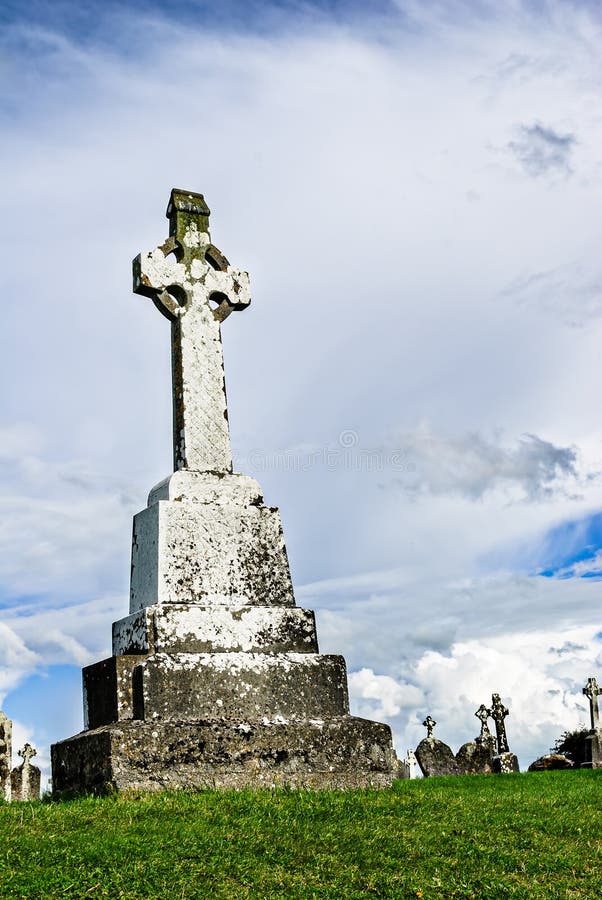 Cross in TullowbegCross · 666 yd
 Marked as Abbey (site of)Religious house, Augustinian friars · 695 yd
 Slaney Bridgebridge · 787 yd
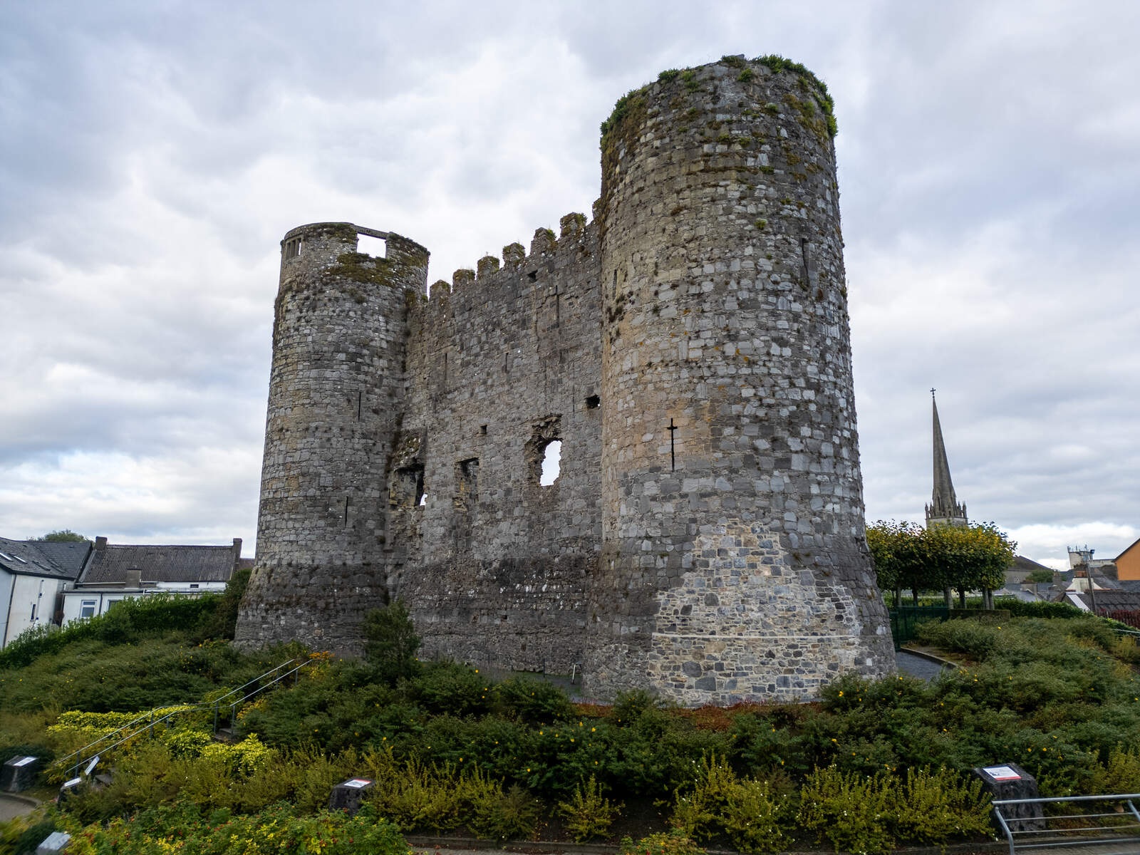 CastleCastle, motte · 1135 yd
 European ashEuropean ash · 1.9 mi
 Coppenagh CastleCastle, tower house · 2.3 mi
 Rath WoodForest · 2.9 mi
 Kilmurry Church (in ruins), GraveyardChurch · 3.7 mi
 Altamont House and GardensHeritage attraction · 4.3 mi
 Altamont Gardens MapVisitor information · 4.3 mi
 Acaun Church (in ruins), GraveyardChurch · 4.8 mi