What is recorded here
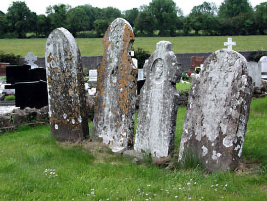
Situated on a gentle SW-facing slope. The parish church of Tyllanoge or Tullaghanoge (ME030-014----) is within a subrectangular graveyard (dims c. 48m NW-SE; c. 32m NE-SW) defined by masonry walls, but it was not enclosed in the late 17th century according to the Dopping (1682-5) and Royal (1693) visitations (Ellison 1972, 11).
Compiled by: Michael Moore
Date of upload: 5 January, 2015
The monument record does not grant public access. Check the route and ask the landowner before entering private land.
- What survives
- Recorded monument
Places near here
 Church (in Ruins)Church · 7 yd
 Not idicaetedFairy fort / earthen ringfort · 502 yd
 Enclosure in Tulach ChonógEnclosure · 1388 yd
 Moymet CastleCastle, tower house · 1.6 mi
 Saint Dympna's Cemeterygraveyard/cemetery · 2.2 mi
 CastleCastle, motte · 2.6 mi
 FraineMountain / peak · 3.3 mi
 JamestownMountain / peak · 3.8 mi
 The New Line RoadMemorial · 5.2 mi
 FarmaphobiaHeritage attraction · 5.5 mi
 Causey FarmHeritage attraction · 5.5 mi
 Laurelberry WoodWood · 5.7 mi