
What is recorded here
In pasture/grazing, located on a NW−SE ridge, which borders the W side of the valley of the River Glore. Ground falls away steeply c. 30m to NE of the rath towards the river which is 245m to E. There is a more gradually slope to SW. This rath is indicated as a circular enclosure on the 1838 OS 6-inch map; by the time…
Read the whole record
From the National Monuments Service (Archaeological Survey of Ireland) record MA080-015
Places near here
Photo credits
- National Inventory of Architectural Heritage
- Maker not stated on source page, www.dreamstime.com
- Maker not stated on source page, www.pinterest.com
- The Carlisle Kid, Wikimedia Commons · CC BY-SA 2.0
- Kiltimagh GAA Club; individual photographer not named, kiltimaghgaaclub.com
- Swinford GAA; the page thanks Michael Maye, Rita Campbell and Fiona McDonagh, without assigning the panoramic image to one maker, swinfordgaa.ie
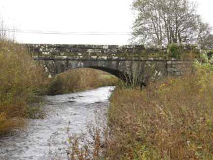 bridge404 yd
Explorer Tom Bridge in Attavally was built for the drainage works under the 1863 Act. It has rock-faced surfaces with 'sparrow…
 Glore BridgeBridge · 425 yd
Explorer Tom Glore Bridge is reviewing its visitors right now. It’s giving two stars for 'lack of imagination' and three for…
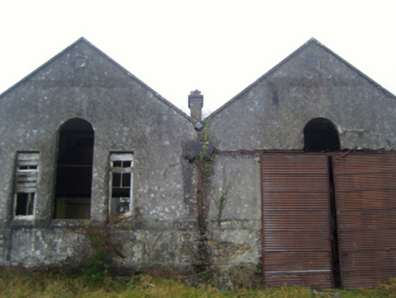 Lisduff National SchoolSchool · 602 yd
Explorer Tom Lisduff National School has a hidden treasure that's definitely just an old biscuit tin. It’s got those Venetian…
 Megalithic tomb in KilledanMegalithic tomb · 1357 yd
Explorer Tom Megalithic tomb in Killedan has a tall tale about a hidden tunnel to the pub that definitely exists if you squint hard…
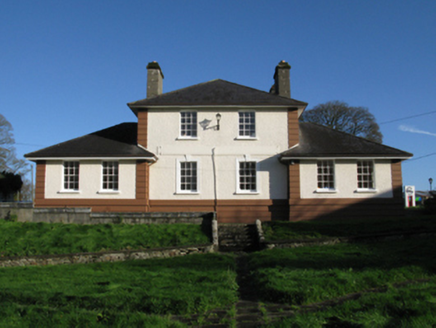 Kiltimagh Cottage HospitalHospital/infirmary · 1.1 mi
Explorer Tom Kiltimagh Cottage Hospital has a legend about a tunnel to the pub so patients could sneak out for pints. It was…
 Maghus Castle and Tir na nÓg PlaygroundChildren's playground · 1.2 mi
Explorer Tom Maghus Castle and Tir na nÓg Playground in County Mayo would order double chips and a mystery sauce at the chipper.…
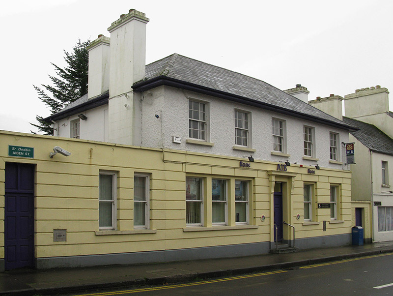 Allied Irish BankBank/financial institution · 1.3 mi
Explorer Tom Allied Irish Bank in Kiltamagh is dressed up like a Georgian gentleman but it’s basically just holding money for people…
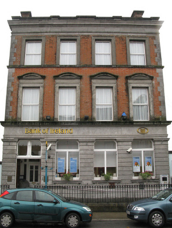 Bank of IrelandBank/financial institution · 1.3 mi
Explorer Tom Bank of Ireland in Kiltamagh would get ‘Here Lies Money’ on its tombstone because it’s seen too many bad investments…
 Kiltimagh Railway StationStore/warehouse · 1.4 mi
Explorer Tom Kiltimagh Railway Station has a goods shed that once had a fox take full charge of the operations, and honestly, it ran…
 Gilmartin Park, Kiltimagh GAAGAA ground · 1.6 mi
 CastleCastle, unclassified · 3.7 mi
Explorer Tom Castle in Ballinamore was built on a bargain with a fairy who wanted a pair of boots. The castle vanished when the…
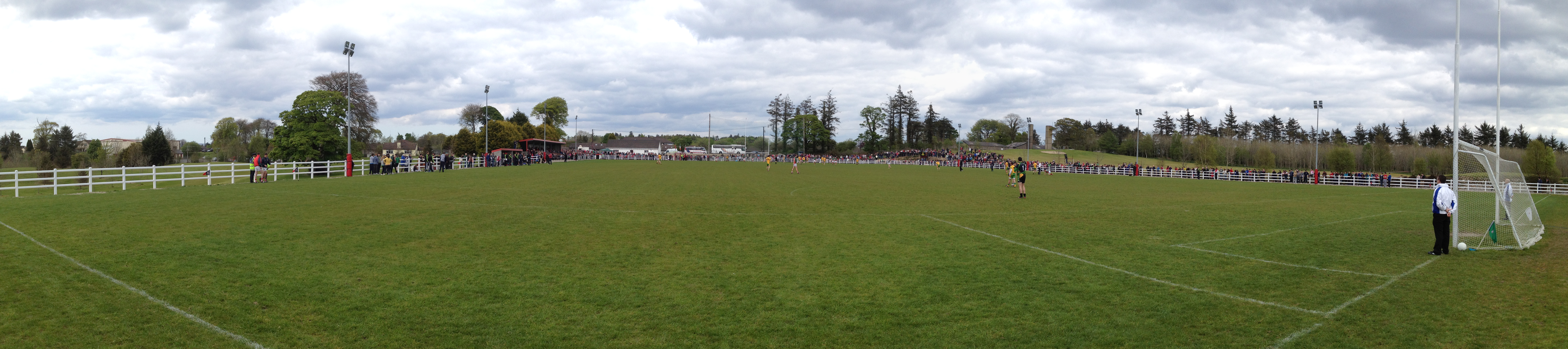 Robert McCallion Memorial Park, Swinford GAAGAA ground · 4.8 mi
More archaeology and monuments in County Mayo · All of County Mayo

What do you know about this place?Tap to add a comment or ask a question