What is recorded here
In pasture, on a small, low rise in an area of lowlying, poorly drained terrain, bordered at NW by a stream/drain. A circular embanked enclosure (diam. c. 30m) is shown on the 1838 OS 6-inch map; it is not shown on later map edition. There is no visible surface trace at ground level. A NW−SE field fence may overlie the SW edge of the site.
Compiled by: Jane O'Shaughnessy
Date of upload: 21 December 2022
The monument record does not grant public access. Check the route and ask the landowner before entering private land.
- What survives
- Recorded monument
Places near here
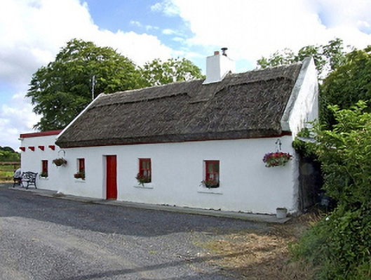 Beech Tree Cottagehouse · 941 yd
 The Heathfarm house · 1282 yd
 IndicatedFairy fort / earthen ringfort · 1353 yd
 Knocknaglogh FortFairy fort / ringfort · 1565 yd
 Bawn in Castlemagarretpark OldBawn · 1.7 mi
 CastlemagarretCastle · 1.7 mi
 Geoffrey's WoodForest · 1.8 mi
 Oak WoodForest · 2.0 mi
 Land of the GiantsHeritage attraction · 3.9 mi
 Mass RockNamed rock · 9.4 mi
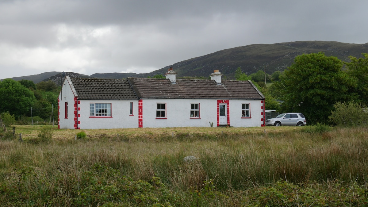 LisnacoolabaunArchaeological place · 1.2 mi
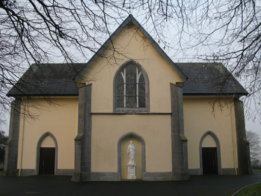 Saint Joseph's Catholic Churchchurch/chapel · 1.4 mi