What is recorded here
Indicated is a fairy fort in County Mayo, Ireland. It occupies a raised oval pasture ringed by a stony scarp and half-choked by blackthorn. The clear northern edge faces wide bog and pasture, while the southern side borders forestry. A human may have stood there to watch weather come or keep animals from the bog.
In pasture, located on a rise. Views are good generally, extensive to NW–N over expanses of bog and pasture. The fields to S and SW are under forestry.
Slightly raised, roughly oval area (35.5m NNE-SSW; c. 31m E–W) defined by a sod-covered stony scarp (Wth slope 2.8m at NE, c. 2m at SW; H 0.75m at NE, 0.4m at SW). The scarp is best defined to N–NE where it is enhanced by the natural slope. In parts on the S arc it retains a stony internal rim.
The interior has a slight slope down to S. The surface feels uneven underfoot. The NW−W part of the interior is covered by an impenetrable thicket of blackthorn and brambles. There is also blackthorn on the perimeter at E, but much of the E half on the interior is grassy and free of overgrowth. A ringfort (MA063-018) is located c. 270m to NW.
Compiled by: Jane O'Shaughnessy
Date of upload: 9 July 2020
The monument record does not grant public access. Check the route and ask the landowner before entering private land.
- What survives
- Recorded monument
Places near here
 Ritual siteRitual site, holy/saint's stone · 1181 yd
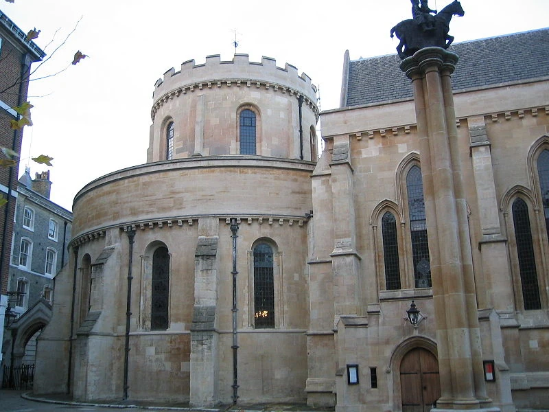 Church in TempleChurch · 1194 yd
 ToberarraghtHoly well · 1254 yd
 Saint James's Catholic Churchchurch/chapel · 1.3 mi
 Old Cave Burial GroundArchaeological place · 5.4 mi
 East Mayo Brigade MonumentMemorial · 6.2 mi
 Rath Castle in ruinsCastle, tower house · 7.2 mi
 Bockagh HillMountain / peak · 7.8 mi
 Thorn CaveCave · 8.0 mi
 Castle (in Ruins)Castle, tower house · 8.2 mi
 Kiltimagh MuseumMuseum · 10 mi
 I'll Send You The FareMemorial · 10 mi