
What is recorded here
Indicated is a broken fairy fort in County Mayo, Ireland, where a twenty-metre earthen ring has collapsed into a shallow scarp beneath overgrowth and field debris. It sits on a low rise above rolling pasture, joined by nearby barrows, enclosures and a wedge tomb that suggest the land once held more than one kind of human claim. The field boundaries visible in 1922 were later removed to make one open pasture, diminishing the fort but leaving its circular shadow behind soil, grass and memory.
Located in an area of rolling average pasture dotted with drumlin-like knolls and hummocks, with good views generally, especially SE–SW. The rath is situated on a low, natural rise. Field boundaries to E and SE shown on the 1922 OS 6-inch map were removed during land reclamation to create one large open field.
Raised circular area (diam. c. 20m) defined by the remnants of an earthen bank, largely reduced to a scarp (Wth slope c. 2.3m; ext. H 1.3m). The enclosure is in poor condition, obscured by heaps of field clearance debris and engulfed in overgrowth, making examination difficult.
This is one monument in a cluster, which includes: two enclosures (MA015-044002-; MA015-044003-) c. 100-150m to ENE; two possible barrows (MA015-044005-; MA015-044006-) c. 70m to SE, a wedge tomb (MA015-044007-) c. 100m to ENE, and a rath (MA015-044004-) c. 200m to SE.
Compiled by: Jane O’Shaughnessy
Date of upload: 6 December 2018
The monument record does not grant public access. Check the route and ask the landowner before entering private land.
- What survives
- Recorded monument
Places near here
 Knockbeg FortFairy fort / earthen ringfort · 207 yd
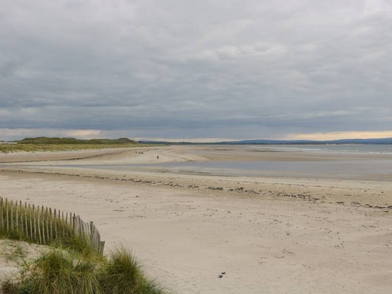 Enclosure in Townplots WestEnclosure · 226 yd
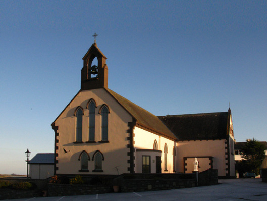 Saint Patrick's Catholic Churchchurch/chapel · 1521 yd
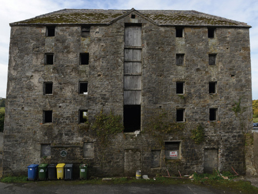 store/warehousestore/warehouse · 1544 yd
 Battle of Killalabattle · 1580 yd
 CastleCastle, unclassified · 1690 yd
 Castle (in Ruins)Castle, tower house · 1.2 mi
 Green IslandIslet · 1.2 mi
 Rinnaun PointHeadland · 1.5 mi
 Battlefields of MoyneBattlefield · 2.3 mi
 Moyne AbbeyHeritage attraction · 2.9 mi
 Bartragh IslandIsland · 3.0 mi
Other information
Photo: Credit not shown in the picture search · Rights wording not checked; contact us if this picture should be removed