What is recorded here
Indicated is a degraded circular barrow on a Mayo knoll, overlooking Rathfran Bay and the Ox Mountains. It sits among wedge tombs and enclosures, marking an old landscape of death and memory. The earth has softened its edges, but the view remains sharp, connecting the hidden dead to the living sky.
Encompassing a small peak on a top of a knoll, in an area of rolling average pasture dotted with drumlin-like knolls and hummocks. There are good views in all direction: Rathfran Bay is visible to E, the Ox Mountains to SE, and Nephin and the Nephin Beg range to W–SW.
This is shown on the 1838 and 1922 OS 6-inch maps as a small circular enclosure (diam. 10-15m). A low, circular slightly domed rise (diam. c. 8-10m; H 0.5-6m) is apparent on the top of the knoll. It is degraded and poorly defined, and it is not possible to determine its original form.
Another possible barrow (MA015-044006-) is located 15m to NNE. There are a wedge tomb (MA015-044007-) and two enclosures (MA015-044002- and MA015-044003-) c. 55m to NE; a rath (MA015-044004-) c. 100m to SE and another (MA015-044001-) c. 100m to NW.
Compiled by: Jane O’Shaughnessy
Date of upload: 6 December 2018
The monument record does not grant public access. Check the route and ask the landowner before entering private land.
- What survives
- Recorded monument
Places near here
 IndicatedFairy fort / earthen ringfort · 117 yd
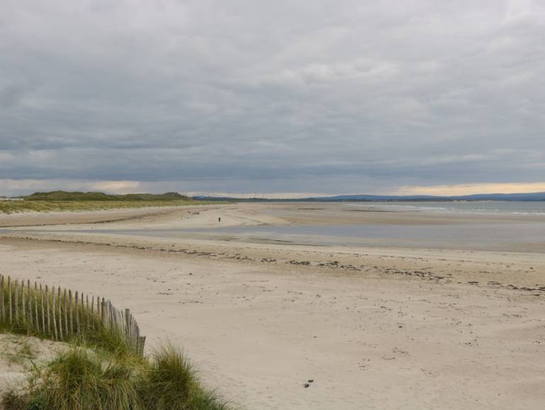 Enclosure in Townplots WestEnclosure · 133 yd
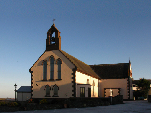 Saint Patrick's Catholic Churchchurch/chapel · 1406 yd
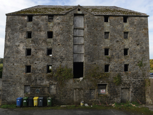 store/warehousestore/warehouse · 1434 yd
 Battle of Killalabattle · 1470 yd
 CastleCastle, unclassified · 1581 yd
 Green IslandIslet · 1.1 mi
 Castle (in Ruins)Castle, tower house · 1.2 mi
 Rinnaun PointHeadland · 1.4 mi
 Battlefields of MoyneBattlefield · 2.2 mi
 Moyne AbbeyHeritage attraction · 2.8 mi
 Bartragh IslandIsland · 2.9 mi