What is recorded here
Corn Store at S end of Midleton, adjacent to Midleton house. Consists of two ranges of L-shaped buildings with yard between. Range to S consists of 15-bay, 5-storey late 18th/early 19th-century store (long axis SW-NE). Central hoist on both sides; lower addition at SW end making overall plan L-shaped. Recent additions attached. To N, 3-storey, L-shaped range with date stone inscribed '1865 C'.
The above description is derived from the published 'Archaeological Inventory of County Cork. Volume 2: East and South Cork' (Dublin: Stationery Office, 1994). In certain instances the entries have been revised and updated in the light of recent research.
Date of upload/revision: 14 January 2009
The monument record does not grant public access. Check the route and ask the landowner before entering private land.
- What survives
- Recorded monument
Places near here
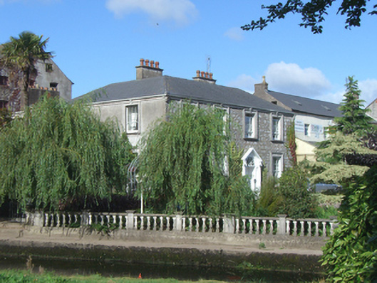 Midleton Househouse · 15 yd
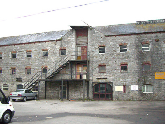 mill (water)mill (water) · 32 yd
 WW1 MonumentMemorial · 111 yd
 Grave YardGraveyard · 273 yd
 Jameson Distillery MidletonHeritage attraction · 302 yd
 Pit-burial in OatencakePit-burial · 522 yd
 John Walsh MemorialMemorial · 567 yd
 Noel Collins BridgeVisitor information · 884 yd
 Castle Redmond (Site of)Castle, unclassified · 997 yd
 Ballyannan (Bluebell) WoodsForest · 1483 yd
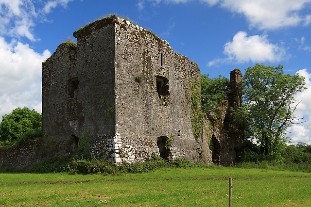 Cahermone Castle (in Ruins)Castle, tower house · 1.1 mi
 Tower WoodForest · 2.9 mi