What is recorded here
In pasture, close to the summit of a small rise. A roughly circular area (diam. c. 20m), outlined by a ring of rushes, may indicate the vestiges of the bank of a rath. The concave interior has a Man-made underground passage (KE059-003001-) in it. The rath is indicated as a roughly circular enclosure (diam. c. 40m) on the 1846 OS 6-inch map. A possible 'cursing stone' (KE059-003002-) is immediately to the NW.
From the National Monuments Service (Archaeological Survey of Ireland) record KE059-003
Places near here
Photo credits
- Maria Teresa Satta, Wikimedia Commons · CC BY-SA 4.0
- National Inventory of Architectural Heritage
- Mike Searle, Wikimedia Commons · CC BY-SA 2.0
- EecherplazGinkgo06.jpg : Cayambe derivative work: Ginkgotree ( talk ), Wikimedia Commons · CC BY-SA 3.0
- Marathon, Geograph · CC BY-SA 2.0
- Mike Murphy ( talk · contribs ), Wikimedia Commons · CC BY-SA 3.0
- Colin Park, Geograph · CC BY-SA 2.0
- Humphrey Bolton, Geograph · CC BY-SA 2.0
- Dumphasizer, Wikimedia Commons · CC BY-SA 2.0
- bdolicki, Wikimedia Commons · CC BY-SA 3.0
 Fulacht fia in AnnaghbegFulacht fia · 660 yd
 Lissivigeen Stone CircleHeritage attraction · 4.1 mi
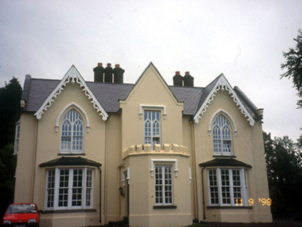 WoodfordHouse · 4.4 mi
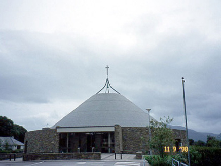 Catholic Church of the ResurrectionChurch/chapel · 4.6 mi
 Flesk CastleCastle · 4.8 mi
 Ginkgo5.2 mi
 Monsignor Hugh O'Flaherty MemorialMemorial · 5.4 mi
 Giant Sequoia5.5 mi
 Circular WalkWalking route · 5.8 mi
 River WalkWalking route · 6.2 mi
 Ross CastleVisitor information · 6.7 mi
 Ross Castle (in ruins)Castle, tower house · 6.8 mi
More archaeology and monuments in County Kerry · All of County Kerry
What do you know about this place?Tap to add a comment or ask a question