
What is recorded here
Situated on a gentle S/SE-facing slope. The original enclosure at this site appears to have been about 65m in diameter although the present remains are smaller (dims. c. 40m N-S; c. 35m E-W). It is defined at the W by a curving earth and stone bank (Wth 1.6m; H 0.9m) with drystone facing and on the N side by a stream. It was known as Ros Lachan (Ducks’ Wood) and Ros an tSéipéil (Chapel Wood), but if it was ever used as a graveyard it had been abandoned by the early nineteenth century (O'Flanagan 1928, 3-4). A low mound (dims. 3.5m x 2.5m), known locally as the 'Bishop's Grave', lies in the W sector. A small rectangular field has been superimposed on the SE portion of the site. A bullaun stone with a single oval basin (dims. 0.4m x 0.36m; D 0.18m) lies in the SW corner of the enclosure and is still used to cure warts.
The above description is derived from the published 'Archaeological Inventory of County Wicklow' (Dublin: Stationery Office, 1997). In certain instances the entries have been revised and updated in the light of recent research.
Date of upload/revision: 17 December 2008
A local fairy fort (ringfort/rath); wider significance not recorded.
The monument record does not grant public access. Check the route and ask the landowner before entering private land.
- What survives
- Recorded monument
Places near here
 Ballyross WoodWood · 936 yd
 Millennium WoodWood · 1300 yd
 OutlinedEnclosure · 1.1 mi
 Mass-rock in OldboleysMass-rock · 1.2 mi
 KnocknagunMountain / peak · 1.3 mi
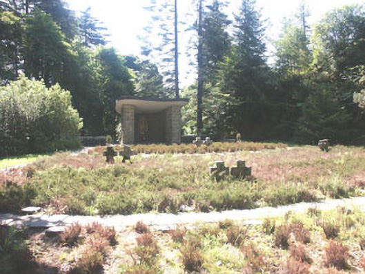 Deutscher Kriegs Friedhofgraveyard/cemetery · 1.4 mi
 Glencree Centre for Peace and ReconciliationHeritage attraction · 1.5 mi
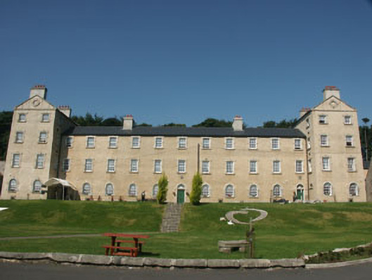 Glencree Barrackbarracks · 1.5 mi
 Prince William's SeatMountain / peak · 1.5 mi
 Glencree German War CemeteryHeritage attraction · 1.6 mi
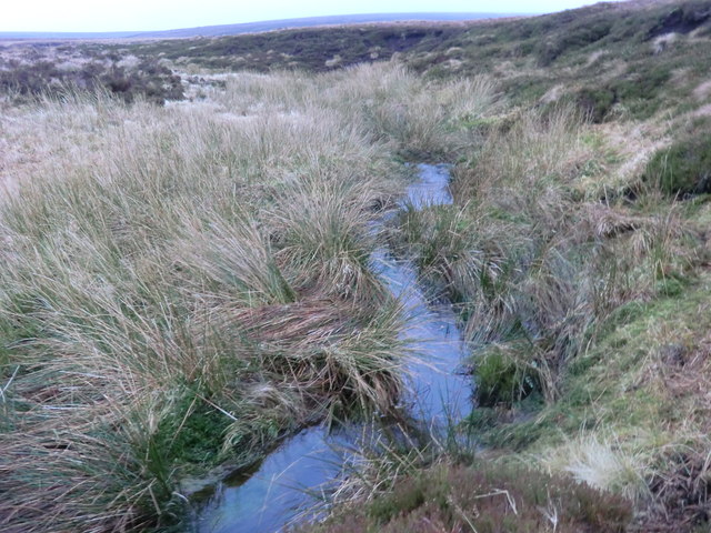 Source of River LiffeySpring · 2.3 mi
 Noel Lemass MemorialMemorial · 2.9 mi
Other information
Photo: Credit not shown in the picture search · Rights wording not checked; contact us if this picture should be removed