What is recorded here
Situated on a fairly level, low-lying landscape with the sea c. 1 km to the E. This is a raised, circular, overgrown area (diam. 34m N-S) defined by an earthen bank (Wth 5m; int. H 0.5m; ext. H 1-1.8m) with an external flat-bottomed fosse (Wth of top 4-5m; Wth of base c. 2m; D 0.4m). There area entrance gaps, probably modern at N, S and W.
Situated on a fairly level, low-lying landscape with the sea c. 1 km to the E. This is a raised, circular, overgrown area (diam. 34m N-S) defined by an earthen bank (Wth 5m; int. H 0.5m; ext. H 1-1.8m) with an external flat-bottomed fosse (Wth of top 4-5m; Wth of base c. 2m; D 0.4m). There area entrance gaps, probably modern at N, S and W.
From the National Monuments Service (Archaeological Survey of Ireland) record WX017-006
The monument record does not grant public access. Check the route and ask the landowner before entering private land.
- What survives
- Recorded monument
Places near here
Photo credits
- National Inventory of Architectural Heritage
- Andreas F. Borchert, Wikimedia Commons · CC BY-SA 4.0
- Lucarelli, Wikimedia Commons · CC BY-SA 3.0
- Bruce Marlin, Wikimedia Commons · CC BY-SA 2.5
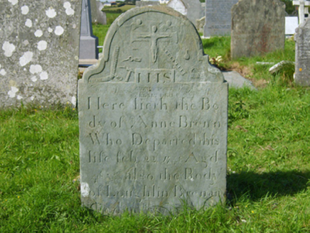 graveyard/cemetery1056 ydDonaghmore BeachBeach / strand · 1204 yd
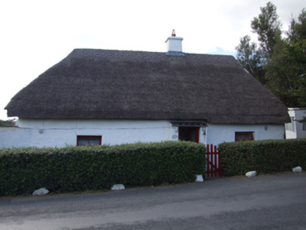 The ThatchHouse · 1461 yd1798 MemorialMemorial · 1667 ydRoney Point BeachBeach / strand · 1.0 mi
 Glascarrig AbbeyArchaeological place · 1.1 miLadys Well or TobermurryHoly well · 1.1 miWexford - TexasMemorial · 1.2 miGilligan's CaveCave · 2.1 miShrule Deer FarmHeritage attraction · 2.5 mi
 Holm Oak4.3 mi
 Fontainebleau service tree6.6 mi
More archaeology and monuments in County Wexford · All of County Wexford
What do you know about this place?