What is recorded here
Located on a bluff overlooking a small W-E valley. Tomhaggard is not listed in a survey of Catholic priests in Ferns diocese in 1731 (Anon. 1915, 166-9), but Jasper Devereux was registered as the pastor of Mayglass and Tomhaggard in 1703 (Grattan Flood 1915, 68). The structure is marked on the 1839 ed. of the OS 6-inch map but it is not named. This is a stone walled thatched structure (ext. dims. 7.1m NW-SE; 5.5m NE-SW; int. dims 5.9m NW-SE; 3.7m NE-SW) built against the inner face of the SE wall of the tower house (WX047-050002-), probably at the first floor level. A window embrasure has been blocked at the bottom creating an altar shelf (Wth 1.73m; H 1.14m; D 0.53m). There is no evidence of an enclosure or burial associated with it, but there is a D-shaped stone (dims 0.5m x 0.28m) over the doorway carved with four curves on its rounded edge and a T-shaped incision. St James' Well (WX047-049----) is c. 35m to the W and St Anne's Well (WX047-051----) is c. 10m to the N at the base of the bluff. A small excavation (03E0646) connected with the underpinning of a buttress on the N side of the mass-house failed to produce any related material (Hayden 2006).
The above description is derived from the published 'Archaeological Inventory of County Wexford' (Dublin: Stationery Office, 1996). In certain instances the entries have been revised and updated in the light of recent research.
Compiled by: Michael Moore
Date of upload/revision: 21 October, 2013
The monument record does not grant public access. Check the route and ask the landowner before entering private land.
- What survives
- Recorded monument
Places near here
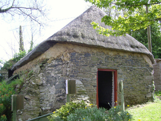 church/chapelchurch/chapel · 2 yd
 St. James WellHoly well · 44 yd
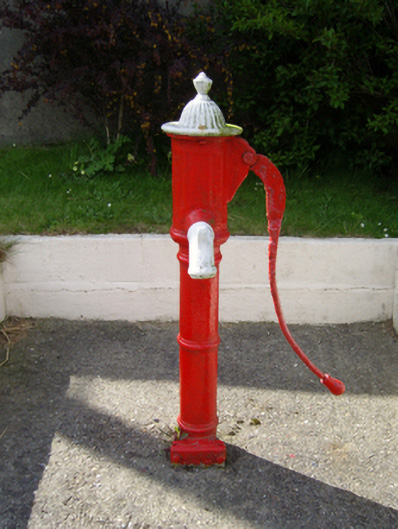 water pumpwater pump · 53 yd
 1798 Memorial PlaqueMemorial · 54 yd
 Ecclesiastical enclosure in TomhaggardEcclesiastical enclosure · 102 yd
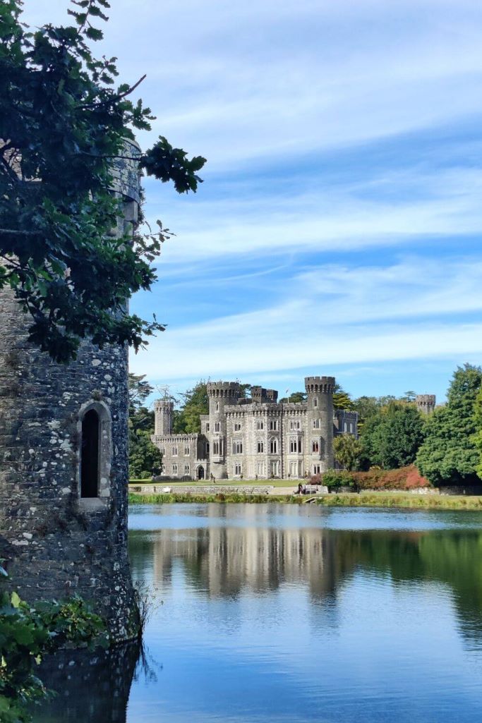 CastleCastle, tower house · 790 yd
 The Bull RockForest · 923 yd
 The Heron's MeadowForest · 1197 yd
 The White Hole BeachBeach / strand · 1.7 mi
 The HamBay · 1.7 mi
 Castle (in ruins)Castle, tower house · 2.2 mi
 Ballyhealy BeachBeach / strand · 2.3 mi