
What is recorded here
Situated on a marked SE-facing slope. Substantial D-shaped enclosure (max. dims. c. 100m NE-SW; c. 70m NW-SE) defined by two banks shown on the 1838 OS 6-inch map, marked on the current edition as a field boundary. The remains consist of the curving W perimeter; an earthen bank (Wth 4.5m; H 1.3-1.8m) with vertical internal drystone facing and an external fosse (Wth 2.5-3m; D 1.5m). These blend in with field boundaries which mark the NE and SW sides. The straight SE side was indicated by a field boundary, now removed.
The above description is derived from the published 'Archaeological Inventory of County Wicklow' (Dublin: Stationery Office, 1997). In certain instances the entries have been revised and updated in the light of recent research.
Date of upload/revision: 17 December 2008
The monument record does not grant public access. Check the route and ask the landowner before entering private land.
- What survives
- Recorded monument
Places near here
 Church in Kilcavan UpperChurch · 758 yd
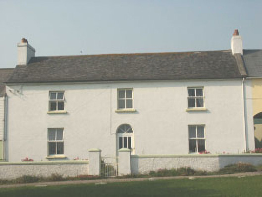 worker's houseworker's house · 1.1 mi
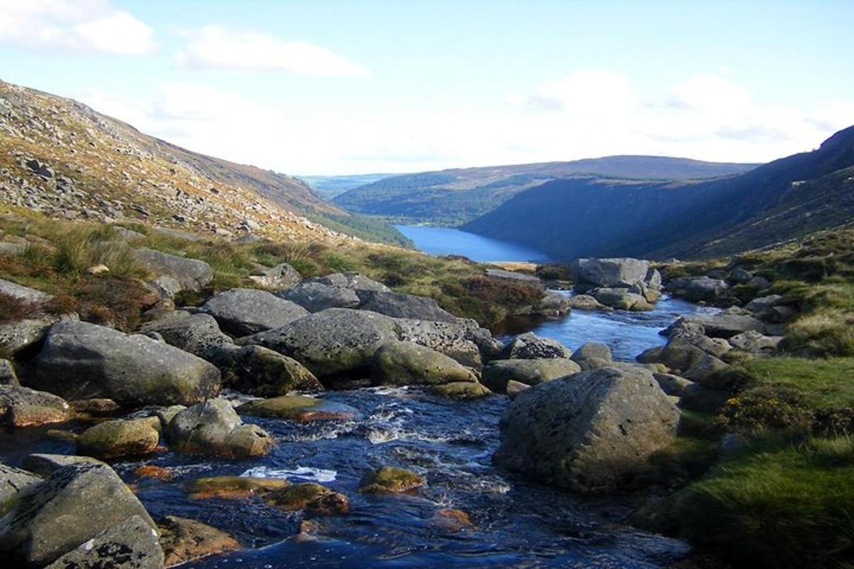 Enclosure in CoolattinEnclosure · 1.3 mi
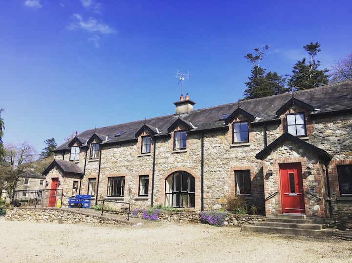 Man-made underground passage in MotabowerMan-made underground passage · 1.5 mi
 Drimingall WoodForest · 1.9 mi
 Sessile OakSessile Oak · 2.0 mi
 Saint Brigid's WellSpring · 3.0 mi
 Blue SchoolMemorial · 3.4 mi
 SlievegowerMountain / peak · 3.8 mi
 Craan HillMountain / peak · 4.0 mi
 1798 MemorialMemorial · 5.1 mi
 Clonogan Castle (site of)Castle, unclassified · 7.0 mi
Other information
Photo: Credit not shown in the picture search · Rights wording not checked; contact us if this picture should be removed