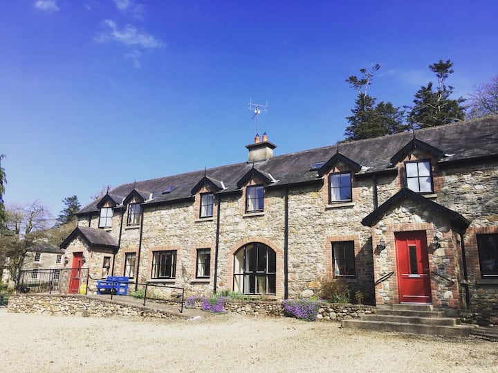
What is recorded here
According to Kinahan (1879-88, 158) on the N side of the E-W R725 road in Motabower there was a low circualar feature which was probably a rath (WX005-012001-) as an underground chamber was said to have been found on it c. 1845. The location is marked on a fieldmap of the Geological Survey of Ireland, and a house is now on the site.
Compiled by: Michael Moore
Date of upload: 29 February, 2012
The monument record does not grant public access. Check the route and ask the landowner before entering private land.
- What survives
- Recorded monument
Places near here
 Millstone quarry in MotabowerMillstone quarry · 227 yd
 Ritual siteRitual site, pond · 588 yd
 Fulacht FianFulacht fia · 885 yd
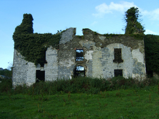 Buckstown Housefarm house · 1.3 mi
 Saint Brigid's WellSpring · 1.9 mi
 Craan HillMountain / peak · 2.5 mi
 Blue SchoolMemorial · 2.8 mi
 SlievegowerMountain / peak · 2.9 mi
 Drimingall WoodForest · 3.0 mi
 Mountnebo WoodForest · 3.3 mi
 1798 MemorialMemorial · 4.9 mi
 Clonogan Castle (site of)Castle, unclassified · 8.3 mi
Other information
Photo: Credit not shown in the picture search · Rights wording not checked; contact us if this picture should be removed