What is recorded here
Situated on gentle NE facing slope overlooking Derreen River 220m to E. A natural gully or shallow ravine running E-W can be seen immediately N of the monument. Present remains consist of a rectangular area (48.4m N-S, 43.8m E-W) surrounded by well-defined flat-topped earth and stone bank (Wth 2m; int. H 1.3m; ext. H 0.7-2m) and deep wide flat-bottomed external fosse (Wth 3m; ext. D 1-2m). Entrance gap (Wth 4m) close to centre in E side. The enclosing fosse is visible from NE-E-S-W-NW and is best preserved from S to W. Second outer bank exists at E only, not clear if this second bank is an original feature or the remains of a post-1700 field boundary. Traces of shallow fosse 25m E of outer bank probably indicates adjacent enclosed field of post 1700 date. S half of interior of moated site now covered in thorn bushes, while N half of monument in pasture.
The above description is derived from the published 'Archaeological Inventory of County Carlow' (Dublin: Stationery Office, 1993). In certain instances the entries have been revised and updated in the light of recent research.
Date of upload/revision: 14 April 2014
The monument record does not grant public access. Check the route and ask the landowner before entering private land.
- What survives
- Recorded monument
Places near here
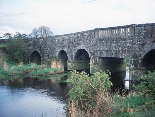 Acaun Bridgebridge · 414 yd
 Portal tomb in HaroldstownPortal tomb · 448 yd
 Haroldstown DolmenArchaeological place · 451 yd
 Acaun Monastery (in ruins)Religious house, Augustinian friars · 654 yd
 Acaun Church (in ruins), GraveyardChurch · 747 yd
 Site of CastleCastle, unclassified · 1475 yd
 CastleCastle, unclassified · 1.0 mi
 Church (in ruins), GraveyardChurch · 2.7 mi
 European ashEuropean ash · 2.8 mi
 Rath WoodForest · 3.4 mi
 Eagle HillMountain / peak · 4.6 mi
 Castledermot Round TowerHeritage attraction · 8.4 mi