What is recorded here
On a level landscape. The holy well (RO023-097001-) is within a rectangular enclosure (ext. dims 10.6m E-W; 5.4m N-S) defined by masonry walls (Wth 0.55m; H 1m) which has a gateway (Wth 1.4m) at E.
From the National Monuments Service (Archaeological Survey of Ireland) record RO023-097003
The monument record does not grant public access. Check the route and ask the landowner before entering private land.
- What survives
- Recorded monument
Places near here
Photo credits
- Algirdas at Lithuanian Wikipedia, Wikimedia Commons · Public domain
- Laurel Lodged, Wikimedia Commons · CC0
- Irish Defence Forces, Wikimedia Commons · CC BY 2.0
- National Inventory of Architectural Heritage
- Christopher Hilton, Wikimedia Commons · CC BY-SA 2.0
ToberabrillogeHoly well · 259 ydIndicatedFairy fort / earthen ringfort · 633 ydCastleCastle, unclassified · 1546 yd Pedunculate Oak2.1 miPedunculate Oak2.1 miStrokestown ParkHeritage attraction · 2.2 miStrokestown Park HouseCountry house · 2.2 miballroom/dance hall/disco2.2 miStrokestown House GardensHeritage attraction · 2.3 miIndicatedCastle, tower house · 2.7 miGoat IslandIslet · 3.6 miGarrymond IslandIslet · 4.0 mi
 Pedunculate Oak2.1 miPedunculate Oak2.1 mi
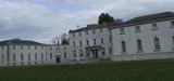 Strokestown ParkHeritage attraction · 2.2 mi
.jpg/250px-2_AR_Strokestown_3_(14005130118).jpg "Photo: Irish Defence Forces, Wikimedia Commons · CC BY 2.0") Strokestown Park HouseCountry house · 2.2 mi
Strokestown Park HouseCountry house · 2.2 mi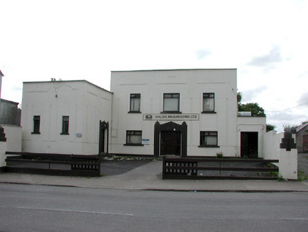 ballroom/dance hall/disco2.2 mi
 Strokestown House GardensHeritage attraction · 2.3 miIndicatedCastle, tower house · 2.7 miGoat IslandIslet · 3.6 miGarrymond IslandIslet · 4.0 mi
More archaeology and monuments in County Roscommon · All of County Roscommon
What do you know about this place?