What is recorded here
Towards the NW end of a NW-SE ridge. Described as a level area defined by a bank NW-NE with a fosse and outer bank at SW (Gannon 1972). It is now an oval grass-covered rise (dims c. 25m E-W; 18m N-S; H 0.15-0.25m), but is probably a rath.
From the National Monuments Service (Archaeological Survey of Ireland) record RO034-008
Places near here
Photo credits
- National Inventory of Architectural Heritage
- Mike Searle, Wikimedia Commons · CC BY-SA 2.0
- Didier Descouens, Wikimedia Commons · CC BY-SA 4.0
- AmandaMcCrann, Wikimedia Commons · CC BY-SA 4.0
- Willow, Wikimedia Commons · CC BY 2.5
- Eric Jones, Geograph · Creative Commons Attribution-ShareAlike 2.0
- Irishrover1980, Wikimedia Commons · CC BY-SA 4.0
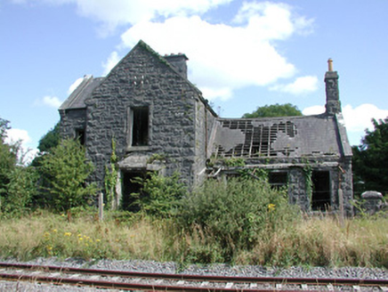 Ballymoe Railway StationStation master's house · 352 yd
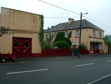 J. and C. Daly and CompanySchool · 1656 yd
.jpg/250px-Castles_of_Connacht-_Ballintober,_Roscommon_(geograph_1954203).jpg "Photo: Mike Searle, Wikimedia Commons · CC BY-SA 2.0") CastleCastle, Anglo-Norman masonry castle · 1.2 mi
CastleCastle, Anglo-Norman masonry castle · 1.2 mi Hawthorn3.7 mi
 IndicatedRound tower · 3.7 mi
_-_geograph.org.uk_-_1952978.jpg/250px-Castles_of_Connacht,_Glinsk,_Galway_(2)_-_geograph.org.uk_-_1952978.jpg "Photo: Mike Searle, Wikimedia Commons · CC BY-SA 2.0") Bawn in Glinsk (ballymoe By.)Bawn · 3.7 mi
Bawn in Glinsk (ballymoe By.)Bawn · 3.7 mi Site of Killomaine Grave YardArchaeological place · 3.7 miSilver IslandIslet · 4.6 miWorkhouse MemorialMemorial · 4.8 mi
 European ash7.6 mi
 Grave YardGraveyard · 8.3 mi
 Roscommon CastleCastle · 10 mi
More archaeology and monuments in County Roscommon · All of County Roscommon
What do you know about this place?Tap to add a comment or ask a question