What is recorded here
Toberavaddy bawn is a forgotten room on a Roscommon ridge, its walls reduced to grassy lines that still measure fifty-five metres of human ambition. The River Suck flows nearby, carrying away the names of the people who built the boundary and the reason they needed it. What remains is a shape large enough to hold a household, a driveway, and a fort, yet small enough to disappear under turf and time.
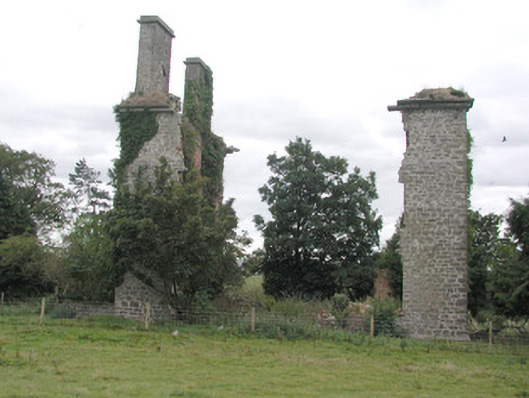
Situated on the SW-facing slope of a NW-SE ridge, c. 180m from a SE-NW section of the River Suck which lies to the SW. The fortified house (RO041-031001-) could be occupying the S angle of a bawn (dims c. 55m NE-SW; c. 30m NW-SE) visible as slight grass-covered wall-footings, with a grass-covered roadway (RO041-031005-) running ESE from its E angle.
Compiled by: Michael Moore
Date of revised upload: 9 October 2015
This monument is subject to a preservation order made under the National Monuments Acts 1930 to 2014 (PO no. 1/1990).
The monument record does not grant public access. Check the route and ask the landowner before entering private land.
- What survives
- Recorded monument
Places near here
 CastleHouse, fortified house · 31 yd
 Enclosure in ToberavaddyEnclosure · 125 yd
 indicatedFairy fort / earthen ringfort · 932 yd
 Castlestrangefarmyard complex · 1059 yd
 Rookwood Bridgebridge · 1612 yd
 Sally IslandIslet · 2.0 mi
 European Crab AppleEuropean Crab Apple · 2.3 mi
 European YewEuropean Yew · 2.5 mi
 Castle KellyCastle, tower house · 3.3 mi
 Mount MaryMountain / peak · 4.6 mi
 Roscommon CastleCastle · 5.2 mi
 Site of Killomaine Grave YardArchaeological place · 8.5 mi