What is recorded here
Indicated is a fairy fort or earthen ringfort in Tintagh, County Roscommon, Ireland. It occupies a low rise as a subcircular area measuring 36.5 metres northeast-southwest and 31 metres northwest-southeast. A scarp reaching 2 metres high at the southeast defines part of the boundary while a stone spread marks the rest. A northeast-southwest field wall bisects the site, leaving the southeast overgrown and the northwest grass-covered.
On a low rise. Subcircular area (dims. 36.5m NE-SW; 31m NW-SE) defined by a scarp (H 0.6m at SW to 2m at SE) SE-W-N, and a stone spread (Wth 3m; H 0.3-0.55m) elsewhere. It is bisected by a NE-SW field wall and is overgrown to the SE and grass-covered to the NW of this feature. It is described as having stones inside the bank at E, indicating use as a childrens burial ground (RO003-025002-) (OS Name Books). There is no trace of these stones now.
Compiled by: Michael Moore
Date of upload: 24 August 2010
This remains an important historical record, but the official description says the monument is no longer visible or has been destroyed. The monument record does not grant public access. Check the route and ask the landowner before entering private land.
- What survives
- No visible remains or recorded as destroyed
Places near here
 MoatCastle, motte · 878 yd
 IndicatedBawn · 935 yd
 The CopseWood · 1720 yd
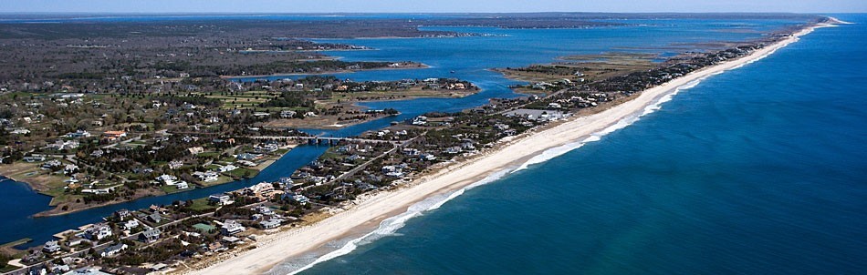 Long IslandIslet · 1.1 mi
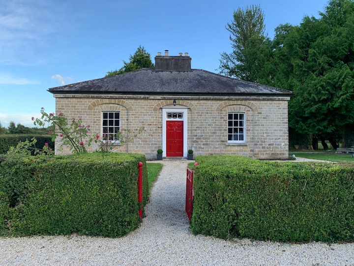 Enclosure in AghagowlaEnclosure · 1.1 mi
 Abbey (Site of)Ecclesiastical site · 1.3 mi
 Stag IslandIslet · 1.5 mi
 Church in AghanaghChurch · 1.6 mi
 Bothar an Iarla Ruaidh or the Red Earls RoadRoad, road/trackway · 1.8 mi
 Loughbrick BayBay · 2.3 mi
 Battle of the Curlew Mountains (1599)Battlefield · 2.4 mi
 Battle of Curlew PassMajor battlefield · 2.4 mi