
What is recorded here
On top of a ridge and near the tip of a peninsula jutting into Lough Arrow. A low roughly oval mound (c. 9m E-W; c. 6m N-S) composed of sandstone and limestone boulders, and overgrown with holly, is the only remaining evidence of a building depicted on the 1838 OS 6-inch map as a rectangular structure (long axis E-W) and named 'Abbey'. The exact nature of this structure is unclear and nothing seems to be known of its history (Gwynn and Hadcock 1970, 363).
The above description is derived from the published 'Archaeological Inventory of County Sligo' compiled by Ursula Egan, Elizabeth Byrne, Mary Sleeman with Sheila Ronan and Connie Murphy (Dublin Stationery Office, 2005).
Date of upload: 18 January 2008
The monument record does not grant public access. Check the route and ask the landowner before entering private land.
- What survives
- Recorded monument
Places near here
 Muck IslandIslet · 945 yd
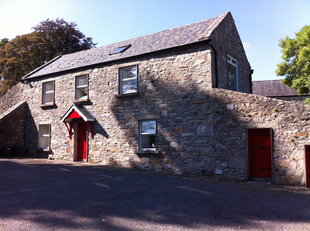 Enclosure in AnnaghgowanEnclosure · 1200 yd
 IndicatedBawn · 1361 yd
 MoatCastle, motte · 1455 yd
 Enclosure in AghanaghEnclosure · 1695 yd
 Church in AghanaghChurch · 1.1 mi
 Loughbrick BayBay · 1.1 mi
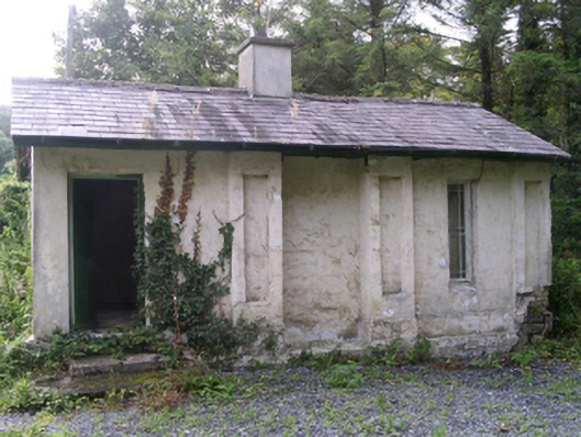 Hollybrook Housegate lodge · 1.3 mi
 InishmoreIslet · 2.0 mi
 The CopseWood · 2.3 mi
 Carricknahorna EastMountain / peak · 2.5 mi
 Bricklieve MountainsMountain / peak · 3.0 mi
Other information
Photo: Credit not shown in the picture search · Rights wording not checked; contact us if this picture should be removed