What is recorded here
In improved pasture, located on level ground in gently rolling grassland.
A circular embanked enclosure is shown on the 1838 OS 6-inch map, with a field boundary on a NNW–SSE axis immediately to SW, and a second enclosure (MA119-041001-) located c. 10m to NW. It is not shown on the 1915 edition.
When inspected in 2000, the remains consisted of a shallow circular flat-based depression (21m N–S; 21m E–W) defined around the perimeter by a very slight, broad raised rim (Wth c. 4m). The raised rim merged seamlessly with exterior ground level and forming a gradual slump into the sunken interior, which was at a depth of c. 0.4-0.55m below the top of the rim. At ESE–SE the perimeter was more or less flush with exterior ground level, possibly indicating the location of an entrance. A subsequent inspection in 2012, found that land reclamation works had reduced the enclosure to an ephemeral cropmark, consisting of a band (Wth c. 2-3m) of slightly yellowish grass defining a circular area (diam. c. 20m).
Compiled by: Jane O’Shaughnessy
Date of upload: 23 July 2012.
The monument record does not grant public access. Check the route and ask the landowner before entering private land.
- What survives
- Recorded monument
Places near here
 IndicatedEnclosure · 33 yd
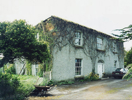 Greaghansfarm house · 1534 yd
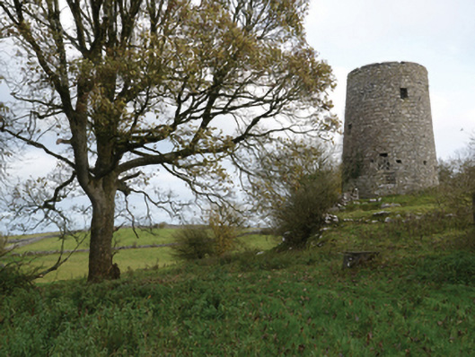 Highwood Millmill (wind) · 1592 yd
 Enclosure in Ardkill,caherwiclaun,kilquire UpperEnclosure · 1604 yd
 Killernan CastleCastle · 1.6 mi
 Bawn in Kilquire LowerBawn · 1.6 mi
 European YewEuropean Yew · 2.4 mi
 SycamoreSycamore · 4.4 mi
 Mass RockNamed rock · 8.2 mi
 Ross Errilly FriaryHeritage attraction · 8.8 mi
 School of FalconryHeritage attraction · 9.7 mi
 Inis Mhic an TrírIsland · 9.9 mi