What is recorded here
Indicated is a fairy fort in County Limerick, an oval earthen ring about thirty metres long hidden behind two modern homes. Westropp recorded it in 1907, but it still belongs more to rumor than history, a place where ordinary pasture folds into old story. The fort does not need proof to be real; it only needs someone to stop treating it as a mistake.
In gently undulating pasture. Recorded as an enclosure by Westropp (1907, 379, 381). Depicted on the revised 1924 ed. OS 25-inch map as an oval-shaped enclosure (approx. 30m NE-SW; 25m NW-SE). Visible as a tree-lined monument to rear of two dwelling plots, on Digital Globe orthophotos taken 2011-13 and Google Earth orthoimage taken 19/11/2019.
See attached Google Earth orthoimages taken 19/11/2019 and 02/07/2018
Compiled by: Alison McQueen and Vera Rahilly
Date of upload: 19 June 2020
The monument record does not grant public access. Check the route and ask the landowner before entering private land.
- What survives
- Recorded monument
Places near here
 Mount Vincent Housemodel school · 409 yd
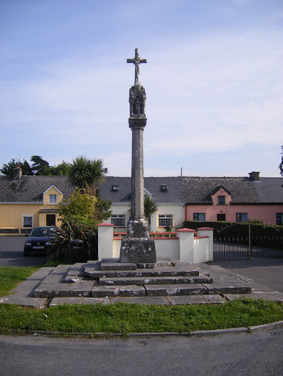 Monsell Monumentmonument · 541 yd
 St James's WellSpring · 742 yd
 Killeen Grave YardBurial ground · 1061 yd
 Enclosure in TervoeEnclosure · 1194 yd
 Carrigogunnell CastleRuins · 1391 yd
 Sailors HaggardMemorial · 1.3 mi
 Coonagh NatureNature reserve · 1.4 mi
 Coreen Castle (in ruins)Castle, unclassified · 1.7 mi
 Muckinish PointHeadland · 1.7 mi
 Grass IslandIslet · 4.0 mi
 Cratloe WoodsForest · 4.0 mi