What is recorded here
Marked as a small square wooded enclosure on the 1839 (dims. c. 40m x c. 30m) and 1925 (dims. c. 30m x c. 25m) eds of the OS 6-inch map. It is situated in the bottom of a shallow NNW-SSE valley with a stream c. 20m to the E. This is a square area (dims. 31m N-S; 31m E-W) in a small coniferous wood defined by earthen banks (Wth 5-7m; int. H c. 1-1.5m; ext. H 1.8-2m normally but 3.4m over a stream at S) at the N, S and W sides, and flat bottomed external moats (Wth of top 5.5-6.5m; ext. D 1.2-2m) on each side. The bank is augmented by spoil from the digging of an inner drain on all sides except the E where the bank was probably removed, and the stream was diverted into the moat at S and now runs off to the S from the SW angle.
The above description is derived from the published 'Archaeological Inventory of County Wexford' (Dublin: Stationery Office, 1996). In certain instances the entries have been revised and updated in the light of recent research.
Compiled by: Michael Moore
Date of upload/revision: 16 August, 2012
The monument record does not grant public access. Check the route and ask the landowner before entering private land.
- What survives
- Recorded monument
Places near here
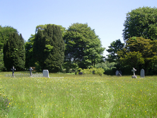 Saint Peter's Church (Adamstown)graveyard/cemetery · 285 yd
 Templeshwlin WellHoly well · 621 yd
 Site of ChurchChurch · 649 yd
 Carrickmastia HillMountain / peak · 1.0 mi
 Misterin Housefarm house · 1.1 mi
 Castle (in ruins)Castle, tower house · 1.7 mi
 Glenour MonumentMemorial · 1.8 mi
 Carrickbyrne HillMountain / peak · 2.3 mi
 Castle in ruinsCastle, tower house · 2.5 mi
 1798 RebellionMemorial · 5.7 mi
 Coolcliffe HouseRuins · 7.4 mi
 High HillForest · 18 mi