What is recorded here
On a gentle SW-facing slope in high (between the 500’ and 600’ contours) rough pasture within an extensive multiperiod field system (CL010-064001-), with wide views S-W-NW. Indicated on both the OS 25-inch plan (1897) and the Cassini edition (1920) of the OS 6-inch map. Listed as ‘Rectangular enclosure’ in the RMP (1996). This subrectangular enclosure (int. dims. 66m E-W; 51m N-S; ext. dims. 70.5m E-W; 55m N-S) with rounded corners is defined by a double-faced wall (Wth 1.3-3m; int. H 0.8-1.8m; ext. H 0.2-1.6m) of uncoursed, medium-sized flagstones laid on end. A later field wall overlies the S and most of the N sides and there is a wide gap (Wth 10m) near the centre of the S wall. The W-sloping interior is rocky, with later livestock pens at the SW, W, NW and NE edges. Later field walls radiate from the exterior NW, NE and SE corners.
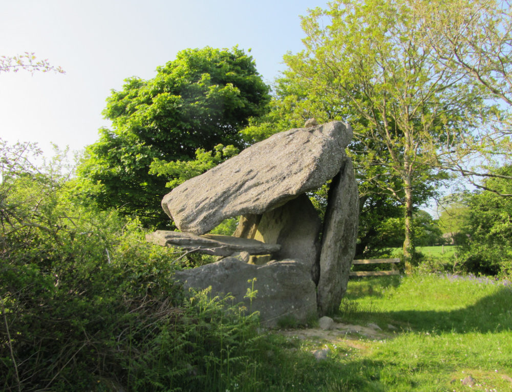
A wedge tomb (CL010-064006-) lies c. 150m to the NW and there is a second wedge tomb (CL010-064068-) c. 150m to the E.
See attached image: CL010-064010-_01 Aerial view of monument from south (Photo. Markus Casey, March 2007).
Compiled by: Gearóid Conroy and Conn Herriott
Date of upload: 6 April 2023
The monument record does not grant public access. Check the route and ask the landowner before entering private land.
- What survives
- Recorded monument
Places near here
 Enclosure in TullycommonEnclosure · 308 yd
 IndicatedFairy fort / stone ringfort · 494 yd
 Castle in ruinsCastle, tower house · 1719 yd
 Correen R.C. Chapel (in ruins)Church · 1.2 mi
 Father Ted's HouseHeritage attraction · 1.2 mi
 Glenquin Housefarm house · 1.3 mi
 Burren National ParkVisitor information · 1.6 mi
 Castle (in ruins)Castle, unclassified · 1.9 mi
 Farbrega RockNamed rock · 2.1 mi
 Fergus River CaveCave · 3.5 mi
 PoulnabroneMemorial · 3.7 mi
 Poulnabrone - Burren GeositeVisitor information · 4.0 mi