
What is recorded here
From the National Monuments Service (Archaeological Survey of Ireland) record MA109-008
Places near here
Photo credits
- National Inventory of Architectural Heritage
- Western People; image filename attributes Google Maps, individual photographer not named, www.westernpeople.ie
- Maker not stated on source page, www.pinterest.com
- Maker not stated on source page, www.mayo-ireland.ie
- Maker not stated on source page, ie.pinterest.com
- Maker not stated on source page, www.flickr.com
- Maker not stated on source page, fi.pinterest.com
- Oliver Dixon, Geograph · CC BY-SA 2.0
- Willow, Wikimedia Commons · CC BY 2.5
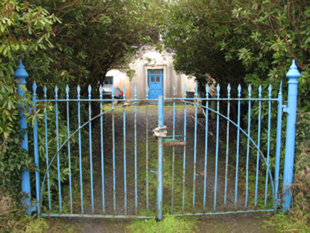 Drimcoggy LodgeFarm house · 239 yd
Explorer Tom Drimcoggy Lodge is secretly proud of one specific potato. It grew right outside the door last year and was huge. The…
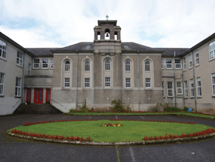 Coláiste MhuireCollege · 1748 yd
Explorer Tom Coláiste Mhuire in Treanlaur is one of seven preparatory colleges set up by the Irish Free State to save the Irish…
 Srah BridgeBridge · 1.1 mi
Explorer Tom Srah Bridge has given up on cars for Lent and now only allows bicycles and very small pedestrians to cross. It’s an…
 Páirc Naomh Muire, Tourmakeady GAAGAA ground · 1.2 mi
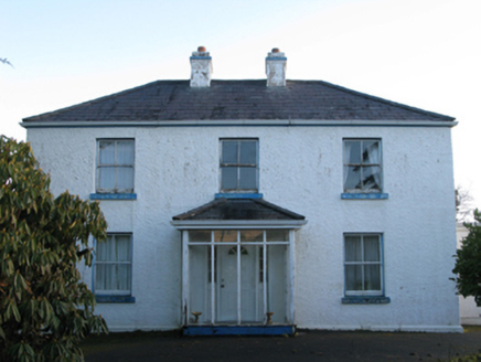 Gorteenmore HouseHouse · 1.4 mi
Explorer Tom Gorteenmore House was saved by a hero nobody remembers, probably just a very stubborn cat. The house looks like it’s…
 Derry IslandCrannog · 1.5 mi
Explorer Tom Derry Island is playing hard to get, hiding out in Lough Mask like it’s got a secret. Legend says it would spill its…
 Curlew IslandIslet · 1.8 mi
Explorer Tom Curlew Island has an imaginary twin across the sea that they argue with every sunset. It’s named after a bird, but…
 Bilberry IslandCrannog · 1.8 mi
Explorer Tom Bilberry Island has had so many names it’s lost count and just picked this one. It’s a bit shy about its previous…
 CarrigeendureeIslet · 3.9 mi
Explorer Tom Carrigeenduree made a New Year’s resolution to change but then the tide came in and it just gave up because honestly…
 Graveyard in Cuslough DemesneGraveyard · 4.1 mi
Explorer Tom Graveyard in Cuslough Demesne constantly complains to the council that the grass is too tall and damp for its dignity.…
 Runnet HillMountain / peak · 4.6 mi
Explorer Tom Runnet Hill is currently in a feud with the rain because it keeps getting soaked. The hill wants to stay dry and sunny…
 European ash6.3 mi
Explorer Tom European ash is what the builder was really thinking when he decided to chop down the perfect straight timber for the…
More archaeology and monuments in County Mayo · All of County Mayo

What do you know about this place?Tap to add a comment or ask a question