
What is recorded here
Indicated is a fairy fort in County Cavan, a raised circular area forty-one metres across, enclosed by a low earthen bank and shallow fosse. Its entrance may have faced northeast, though time has blurred that edge. People once lived inside or feared what lived inside. Either way, the land remembers the shape of their choices.
Raised circular area (int. diam. 41m) enclosed by a low earthen bank and a narrow, shallow fosse with traces of an apparently modern counterscarp bank outside of it at N. An earlier report (OPW 1970) suggested that the original entrance may have been at NE.
The above description is derived from the published 'Archaeological Inventory of County Cavan' (Dublin: Stationery Office, 1995). In certain instances the entries have been revised and updated in the light of recent research.
Date of upload/revision: 22 December 2008
The monument record does not grant public access. Check the route and ask the landowner before entering private land.
- What survives
- Recorded monument
Places near here
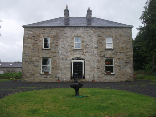 Moydristan Househouse · 1060 yd
 Aghakilmore LowerMountain / peak · 1419 yd
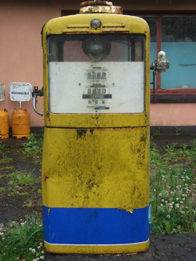 filling pump/stationfilling pump/station · 1.1 mi
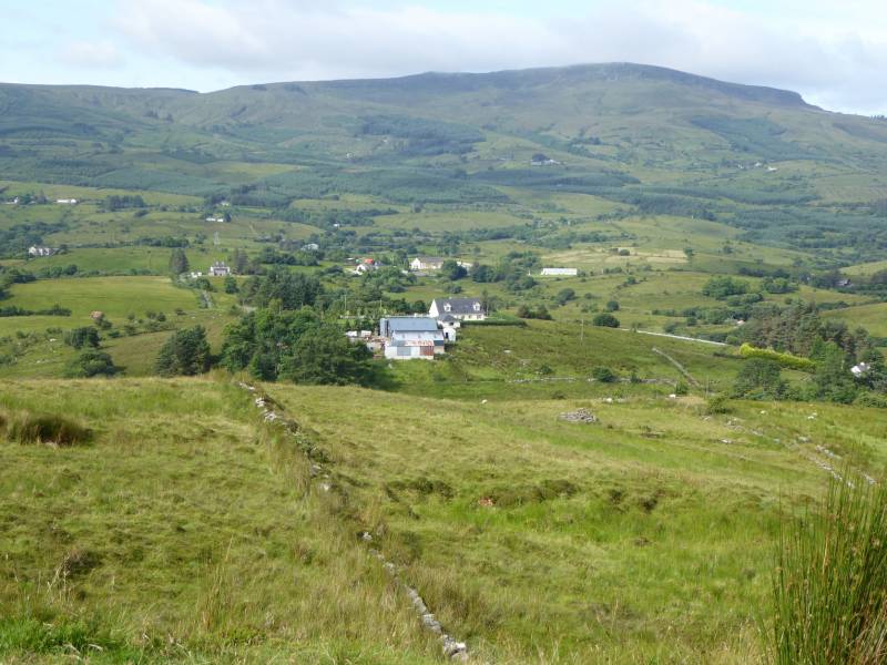 Tony FortArchaeological place · 1.1 mi
 Moynagh Upper ForestForest · 1.5 mi
 CastleCastle, motte · 1.6 mi
 Crane IslandIslet · 1.6 mi
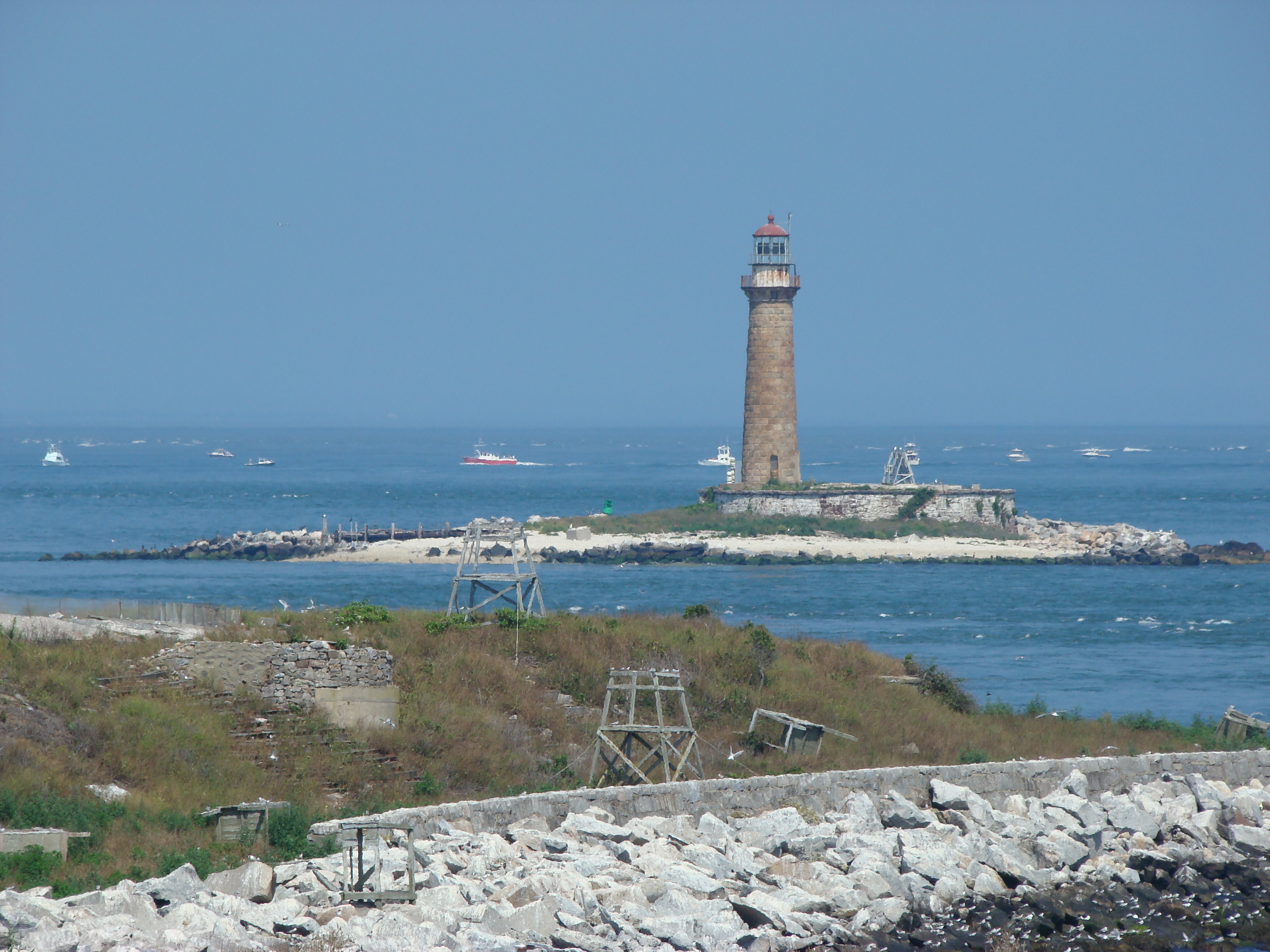 Gull IslandIslet · 1.6 mi
 CrossCross, Wayside cross · 1.7 mi
 Carrick RockWood · 1.8 mi
 CarrickabaneMountain / peak · 2.2 mi
 Kilnahard Housecountry house · 1.4 mi
Other information
Photo: Credit not shown in the picture search · Rights wording not checked; contact us if this picture should be removed