
What is recorded here
Located on a slight rise, in a stand of deciduous woodland in the grounds of Tavraun House, with a cluster of farm buildings 10-15m to SW.
Roughly circular raised area or platform (34m N–S; 31.4m E–W) defined by a scarp and enclosed at S–ENE by a fosse (Wth 3.5m) and external bank (at N: Wth 3.7m; int. H 0.7m; ext. H 0.6m). A field wall, on a NNW–SSE axis, has truncated the external bank at E. Another field wall, oriented roughly N−S, lies immediately to W of the external bank on the W arc. A slumped area in the enclosing scarp at SE may mark an original entrance.
The interior slopes down slightly from NW to SE. In the W half of the interior, there is a trench-like depression (L 19m; Wth 3.6-4m; D 0.7m) close to the inner edge of the scarp, which arcs gently, respecting the curve of the enclosure -this appears to be the result of relatively recent disturbance. Immediately to E of this is a low stony rise (c. 3m E–W; c. 4m N–S).
The interior and perimeter are planted with sycamore, hazel, hawthorn and rhododendron.
Compiled by: Jane O’Shaughnessy
Date of upload: 4 June 2021
The monument record does not grant public access. Check the route and ask the landowner before entering private land.
- What survives
- Recorded monument
Places near here
 Tavraun Housefarm house · 85 yd
 Mass-rock in TavraunMass-rock · 469 yd
 Saint Patrick's Catholic Churchchurch/chapel · 1524 yd
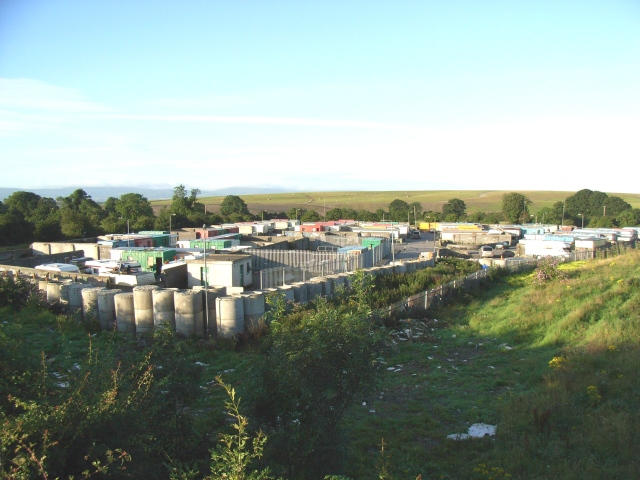 Enclosure in Cappagh (costello By.)Enclosure · 2.3 mi
 Rath Castle in ruinsCastle, tower house · 2.7 mi
 East Mayo Brigade MonumentMemorial · 3.1 mi
 CastleCastle, unclassified · 4.9 mi
 Knock ShrineHeritage attraction · 8.0 mi
 Knock MuseumMuseum · 8.0 mi
 Thorn CaveCave · 8.1 mi
 Bockagh HillMountain / peak · 8.4 mi
 I'll Send You The FareMemorial · 9.0 mi
Other information
Photo: Credit not shown in the picture search · Rights wording not checked; contact us if this picture should be removed