What is recorded here
Situated on a shoulder on the N-facing slope of Tara Hill below the ridge with the cairn (WX007-014----). It is indicated as a small circular feature on the 1940 edition of the OS 6-inch map. This is a circular enclosure (int. diam. 6.75m N-S; 6.6m E-W) defined by the base of a double-faced wall (T 0.5-0.7m; max. H 0.4m) with no visible entrance. It could be a sheepfold.
Date of upload: 4 April, 2017
The monument record does not grant public access. Check the route and ask the landowner before entering private land.
- What survives
- Recorded monument
Places near here
 Tara HillMountain / peak · 125 yd
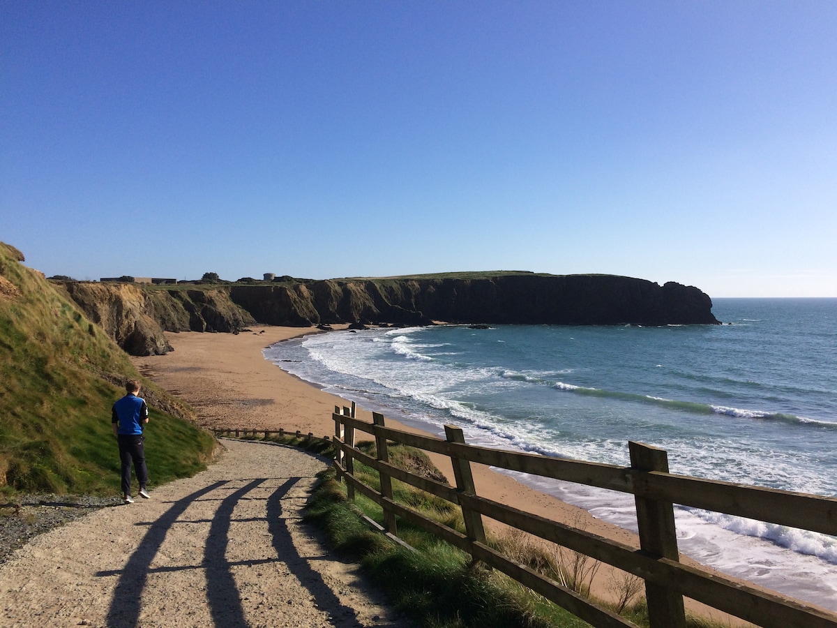 TobercavanHoly well · 465 yd
 CastleCastle, unclassified · 491 yd
 St Winifreds WellHoly well · 594 yd
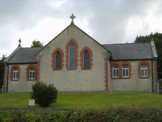 Saint Kevin's Catholic Churchchurch/chapel · 807 yd
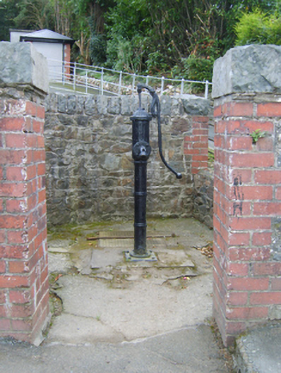 water pumpwater pump · 823 yd
 Kia Ora Mini FarmHeritage attraction · 2.2 mi
 Duffcarrig Rocks BeachBeach / strand · 2.6 mi
 Curragh WoodWood · 3.0 mi
 Holm OakHolm Oak · 3.3 mi
 Market HouseHeritage attraction · 3.6 mi
 1798 MonumentMemorial · 4.0 mi