What is recorded here
Partially excavated in advance of construction of the N9/N10 Kilcullen-Waterford Road (Excavation Licence number E2606). 'A mill-race consisting of a 5.2m-wide channel, running east-west with a maximum depth of 1.5m, was excavated. The channel had been in filled in modern times with felled trees, agricultural and domestic waste and other debris. The channel was heavily waterlogged and was considered unsafe to excavate by hand. Information was recorded on the dimensions and shape of the channel, and the feature was backfilled for health and safety reasons'. (Hackett, L. 2009, 43)
Reference:
Hackett, L. (2009) 'Cloghristick Mill-race' in I. Bennett (ed.), Excavations 2006: summary accounts of archaeological excavations in Ireland, 43 (178). Bray. Wordwell
Compiled by: Claire Breen
Date of upload: 10 November 2010
The monument record does not grant public access. Check the route and ask the landowner before entering private land.
- What survives
- Recorded monument
Places near here
 Enclosure in ClonmelshEnclosure · 996 yd
 Enclosure in PowerstownEnclosure · 1022 yd
 Milford Locklock · 1181 yd
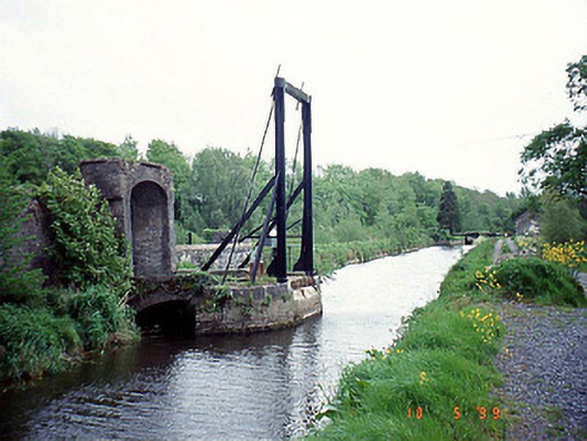 bridgebridge · 1301 yd
 Graveyard in ClonmelshGraveyard · 1476 yd
 Graveyard in Tomard Lower (3 Detached Portions)Graveyard · 1.4 mi
 Common LimeCommon Lime · 2.1 mi
 Clogrenan CastleCastle, tower house · 2.6 mi
 Black Castle (in ruins)Castle, tower house · 2.9 mi
 Gallows HillMountain / peak · 4.1 mi
 Pedunculate OakPedunculate Oak · 4.2 mi
 Carlow CastleRuined medieval castle · 4.4 mi