What is recorded here
In grassland atop rise of ground with good views in all directions. Possible contemporary stone-lined circular well 40m to the NW of the Synone tower house (TS053-035001-) which would have been inside the bawn wall (TS053-035004-). Deep sunken circular well (int. diam. 0.95m; D 2.7m to top of water) lined with drystone-walling with water visible at the base of the well at time of visit. Probable water supply for and contemporary with the tower house.
Compiled by: Jean Farrelly
Date of upload: 26 August 2011
The monument record does not grant public access. Check the route and ask the landowner before entering private land.
- What survives
- Recorded monument
Places near here
 Synone CastleCastle · 29 yd
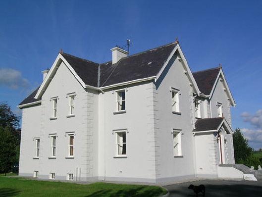 Synone Househouse · 869 yd
 Church (In Ruins)Church · 1056 yd
 IndicatedFairy fort / earthen ringfort · 1520 yd
 RathancooleenCastle, ringwork · 1.2 mi
 Enclosure in NodstownEnclosure · 1.3 mi
 Ballyknock HillMountain / peak · 2.5 mi
 Rock of CashelHeritage attraction · 3.5 mi
 Cormac's ChapelHeritage attraction · 3.5 mi
 The Rock Of CashelVisitor information · 3.5 mi
 Black mulberryBlack mulberry · 3.6 mi
 Clonoulty HillMountain / peak · 4.9 mi