What is recorded here
In grassland to N and W of tower house (TS053-035001-) are a series of low earthworks defining several large rectangular fields which are depicted on first ed. OS 6-inch map but not on latest ed. OS 6-inch maps. Aerial photographs taken in 1967 show up these levelled field boundaries to N and W of tower house (CUCAP ATA 62). These are the remains of the field boundaries indicated on 1838 ed. OS 6-inch maps and do not appear to be medieval in date, possibly 18th century field enclosures which were removed between 1838 and 1953-54. This was classified in the SMR (1992) and the RMP (1997) as an 'Field system possible'. Following field inspection this was found to be post-1700 in date. It remains classified as 'Field system' but is not included in the current remit of the ASI.
Compiled by: Jean Farrelly
Date of upload: 26 August 2011
The monument record does not grant public access. Check the route and ask the landowner before entering private land.
- What survives
- Recorded monument
Places near here
 Synone CastleCastle · 146 yd
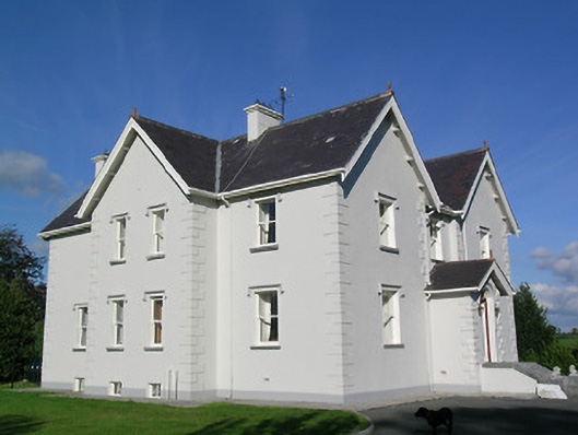 Synone Househouse · 781 yd
 Church (In Ruins)Church · 1176 yd
 IndicatedFairy fort / earthen ringfort · 1634 yd
 RathancooleenCastle, ringwork · 1.2 mi
 Enclosure in NodstownEnclosure · 1.3 mi
 Ballyknock HillMountain / peak · 2.5 mi
 Rock of CashelHeritage attraction · 3.5 mi
 Cormac's ChapelHeritage attraction · 3.5 mi
 The Rock Of CashelVisitor information · 3.5 mi
 Black mulberryBlack mulberry · 3.7 mi
 Clonoulty HillMountain / peak · 4.8 mi