What is recorded here
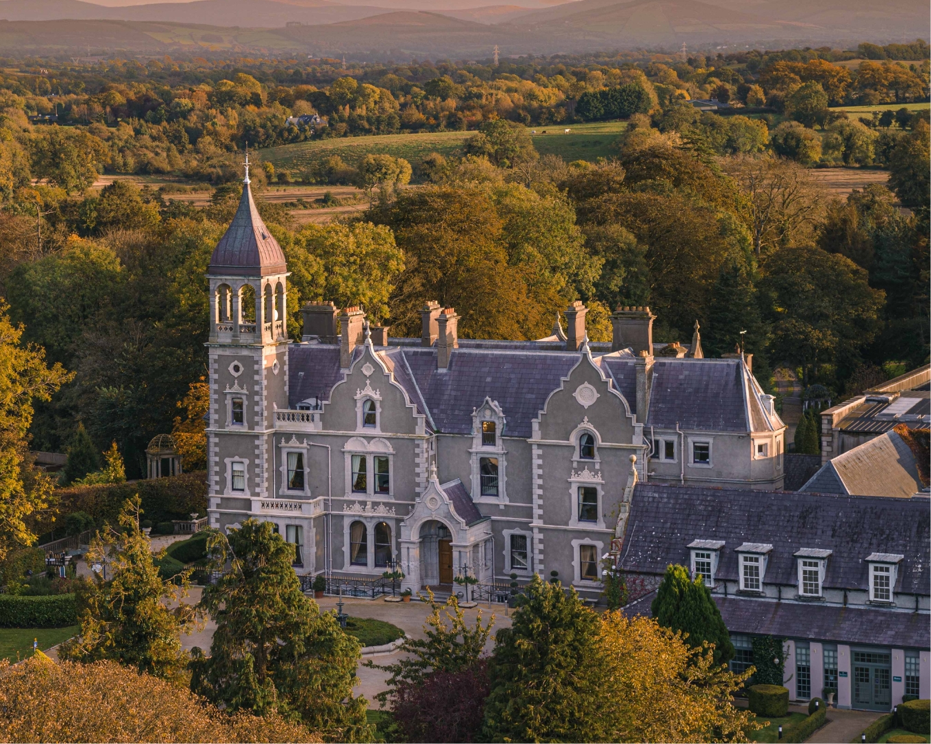
Shown on the current ed. (1910) of the OS 6-inch map as a roughly circular field (diam. c. 50m) containing trees, immediately W of Gowran Grange House. However, neither it nor Gowran Grange House are recorded on the 1st. ed. (1838) of the map. It appears to be a late-19th /early-20th century landscape feature associated with the house.
Compiled by: Gearóid Conroy
Date of upload: 06 July 2012
The monument record does not grant public access. Check the route and ask the landowner before entering private land.
- What survives
- Recorded monument
Places near here
 CastleCastle, unclassified · 1308 yd
 Punchestown LongstoneArchaeological place · 1670 yd
 Enclosure in Killashee (killashee Ed)Enclosure · 1.0 mi
 Site of CastleCastle, unclassified · 1.2 mi
 Church in Killashee (killashee Ed)Church · 1.3 mi
 Sillagh Bog WoodForest · 1.5 mi
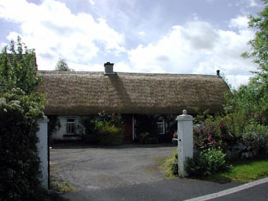 farm housefarm house · 1.6 mi
 Poplar SquarePicnic place · 2.7 mi
 European YewEuropean Yew · 3.4 mi
 Councillor Jim MileyMemorial · 4.6 mi
 Proclamation of the Irish RepublicMemorial · 4.6 mi
 Cupidstown HillMountain / peak · 6.9 mi