DDiscover AloneMapAbout

Quarry in Streamstown

Quarry

What is recorded here

Quarry face located just 75m S of the summit of Knockeyon Hill (OD 710 ft / 215m) on S facing slope overlooking Lough Derravaragh from SSE-S-W-NW. The shoreline of Lough Derravaragh is 250m to the SW. Church (WM012-026----) dedicated to St. Eyon located 130m to SW. Exposed limestone and chert cliff face (L 75m NE-SW)…

Read the whole record
Quarry face located just 75m S of the summit of Knockeyon Hill (OD 710 ft / 215m) on S facing slope overlooking Lough Derravaragh from SSE-S-W-NW. The shoreline of Lough Derravaragh is 250m to the SW. Church (WM012-026----) dedicated to St. Eyon located 130m to SW. Exposed limestone and chert cliff face (L 75m NE-SW) running roughly NE-SW depicted on the 1911 ed. OS 25-inch map. This exposed semi-circular shaped cliff-faces (L 10m; D 0.3m) appear to be the site of a chert quarry possibly dating from the Mesolithic period (O'Sullivan et. al. 2007, 36-7; Little 2009, 130). The exposed rock face has been described as quarried feature which 'chase bands of festooned chert through the surrounding limestone and in some places disappear under the modern sloping ground surface. Immediately below these cut or quarried features there is a wide and extensive scree slope of chert stretching down into the oak and hazel woods of the hill' (ibid., 37). This 'festoon' chert is different from the usual black glassy or very fine-grained chert and can be identified from its characteristic feature of thin dark lines in loops and rings through the dark brown chert. In 2006 a site visit by Aimee Little and Dr. Matthew Parkes of the Natural History Museum of Ireland discovered several pieces of chert amongst the scree at the base of the outcrop which showed signs of secondary working suggesting that they were late Mesolithic in date; pick like forms were also identified amongst the scree (ibid.). Dr Parkes identified several areas on the face of the chert outcrop which appear to have been quarried, as there was no natural explanation for the type of bed recession visible (ibid., 37-8). It has been suggested that the festooned chert Mesolithic tools excavated at Clonava Island (WM006-065----) located 8.6km to the NW may have been quarried from Knockeyon Hill (ibid., 38-9; Little 2014, 2). The late Mesolithic wetland site at Corralanna (WM002-035----) is 12.5km to the NNW.

From the National Monuments Service (Archaeological Survey of Ireland) record WM012-209

The monument record does not grant public access. Check the route and ask the landowner before entering private land.

What do you know about this place?Tap to add a comment or ask a question

What you write will be public.

Places near here

Photo credits
  • Jeanne dArc at English Wikipedia, Wikimedia Commons · CC BY-SA 3.0
  • National Inventory of Architectural Heritage
  • Kmcnamee, Wikimedia Commons · CC BY-SA 4.0
  • Rev William Falkiner (Life time: d 1910), Wikimedia Commons · Public domain
  • Peter Gavigan, Wikimedia Commons · CC BY-SA 3.0
KnockeyonMountain / peak · 88 yd

Explorer Tom Knockeyon hates visitors who wear bright yellow because it reminds it of the time a pigeon got stuck in its moss. It’s…
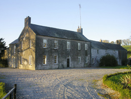
Streamstown HouseHouse · 939 yd

Explorer Tom Streamstown House in Streamstown is hosting a murder mystery dinner where nobody left alive to complain about the food.…
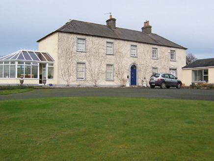
Gartlandstown StudHouse · 1302 yd

Explorer Tom Gartlandstown Stud sits on Knockeyon Hill looking down its nose at everyone else in the valley. It’s got strict rules…
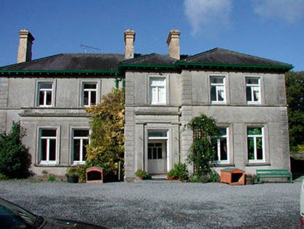
Mornington HouseCountry house · 1.4 mi

Explorer Tom Mornington House in Monintown is haunted by a ghost so lazy he sleeps in the breakfronts all day. The ascending facade…

Ringtown GAA pitchGAA ground · 1.5 miCatholic Church of Saint John the BaptistChurch/chapel · 1.5 mi

Explorer Tom Catholic Church of Saint John the Baptist in Milltown was built on a bargain where the mason got paid in potatoes…
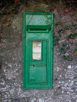
post box1.6 mi

Explorer Tom This post box in Milltown has strict rules: no loud noises, no dirty fingers, and absolutely no asking who made it.…

Mortimer's CastleArchaeological place · 2.5 mi

Explorer Tom Mortimer’s Castle in County Westmeath is locked in a bitter feud with the rain, insisting it looks majestic even when…
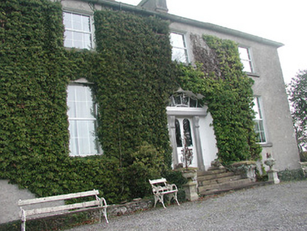
Glebe HouseRectory/glebe/vicarage/curate's house · 4.2 mi

Explorer Tom Glebe House would tell you in a job interview that it has strong references from the Board of First Fruits. It was…

Tullynally CastleCountry house · 4.3 mi

Explorer Tom Tullynally Castle in Westmeath is a sprawling Pakenham fortress that has made its New Year's resolution: no more ghosts…
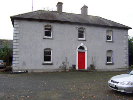
Rickardstown HouseHouse · 4.5 mi

Explorer Tom Rickardstown House in Rickardstown is doing its best to look dignified despite that weird doorframe it stole from a…
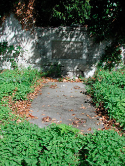
graveyard/cemetery4.7 mi

Explorer Tom Graveyard in Kilcumny is sitting inside a medieval enclosure, looking like it’s about to start a very serious book club…

More historic places in County Westmeath · All of County Westmeath

Add to this placeAdd a picture Add a detailed tip Add a story

Explore the map1,095,414 places to discover

Next place · or swipeKnockeyon