What is recorded here
This possible rath is indicated on the 1836 OS 6-inch map as an oval ringfort-sized enclosure (max. dim. c. 20m N-S), annotated as ‘Fort’. It is shown enclosed within a larger D-shaped enclosure, defined by a bank or wall which curves around the possible rath on the S, W and N, with a road forming the straight side at E. There is no trace visible of this 'Fort' now. It was situated in low level pasture land to the N of the River Finn. The above description was derived from the 'Archaeological Survey of County Donegal. A description of the field antiquities of the County from the Mesolithic Period to the 17th century.' Compiled by: Brian Lacey with Eamon Cody, Claire Cotter, Judy Cuppage, Noel Dunne, Vincent Hurley, Celie O'Rahilly, Paul Walsh and Seán Ó Nualláin (Lifford: Donegal County Council, 1983). Date of revised upload: 10 April 2018
This possible rath is indicated on the 1836 OS 6-inch map as an oval ringfort-sized enclosure (max. dim. c. 20m N-S), annotated as ‘Fort’. It is shown enclosed within a larger D-shaped enclosure, defined by a bank or wall which curves around the possible rath on the S, W and N, with a road forming the straight side at E. There is no trace visible of this 'Fort' now. It was situated in low level pasture land to…
From the National Monuments Service (Archaeological Survey of Ireland) record DG078-017
This remains an important historical record, but the official description says the monument is no longer visible or has been destroyed. The monument record does not grant public access. Check the route and ask the landowner before entering private land.
- What survives
- No visible remains or recorded as destroyed
Places near here
Photo credits
- National Inventory of Architectural Heritage
- Willie Duffin, Geograph · CC BY-SA 2.0
- Wanfried-Dublin, Wikimedia Commons · CC BY-SA 4.0
- Richard Webb, Geograph · CC BY-SA 2.0
- Kenneth Allen, Geograph · CC BY-SA 2.0
- Kenneth Allen, Wikimedia Commons · CC BY-SA 2.0
- Dr Neil Clifton, Geograph · CC BY-SA 2.0
- Me, Wikimedia Commons · Public domain
- Andreas F. Borchert, Wikimedia Commons · CC BY-SA 3.0 de
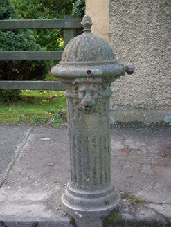 water pump411 yd
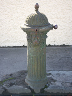 water pump452 yd
 Drumboe WoodForest recreation place · 968 yd
 Standing StonesPortal tomb · 3.8 mi
 Lismullyduff MountainMountain / peak · 3.9 mi
 Gorey HillMountain / peak · 4.3 mi
 Garvagh Pullans Court TombCourt tomb · 5.8 mi
 PalaceHouse, fortified house · 8.3 mi
 Newmills Corn and Flax MillsHeritage attraction · 9.0 mi
 Battle of ScarrifholisBattle · 9.2 mi
 Station IslandIsland · 14 mi
 Patrick the PilgrimMemorial · 14 mi
More archaeology and monuments in County Donegal · All of County Donegal
What do you know about this place?