What is recorded here
No surface remains visible of any enclosure or tree-ring in area of rock outcrop. Depicted as a circular grove of trees or as a tree-ring of post-1700 date on the 1838 edition of the OS 6-inch map and not depicted as an antiquity. Not indicated on current ed. OS 6-inch map.
No surface remains visible of any enclosure or tree-ring in area of rock outcrop. Depicted as a circular grove of trees or as a tree-ring of post-1700 date on the 1838 edition of the OS 6-inch map and not depicted as an antiquity. Not indicated on current ed. OS 6-inch map.
From the National Monuments Service (Archaeological Survey of Ireland) record OF007-047
The monument record does not grant public access. Check the route and ask the landowner before entering private land.
- What survives
- Recorded monument
Places near here
Photo credits
- National Inventory of Architectural Heritage
- dougf, Wikimedia Commons · CC BY-SA 2.0
- Willow, Wikimedia Commons · CC BY 2.5
- A.-K. D., Wikimedia Commons · CC BY-SA 4.0
- ., Wikimedia Commons · CC BY-SA 4.0
- Eric Jones, Geograph · CC BY-SA 2.0
- N Chadwick, Geograph · Creative Commons Attribution-ShareAlike 2.0
- Joseph Mischyshyn, Geograph · CC BY-SA 2.0
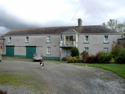 Ballylin HouseOutbuilding · 1.7 mi
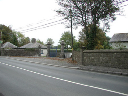 Ballylin HouseGate lodge · 1.7 mi
 Esker CastleCastle, tower house · 2.0 mi
 European ash2.6 mi
 St. Managhans WellHoly well · 2.6 mi
 AbbeyHermitage · 2.9 mi
 Coole CastleCastle · 3.8 miEuropean ash3.8 mi
 Cloghan HillMountain / peak · 6.8 mi
 Graveyard in ClonmacnoiseGraveyard · 7.7 mi
 ClonmacnoiseArchaeological place · 7.7 mi
 ClonmacnoiseHeritage attraction · 7.7 mi
More archaeology and monuments in County Offaly · All of County Offaly
What do you know about this place?