
What is recorded here
Indicated is a collapsed stone ringfort on a west-facing slope above Dunbulcaun Bay in County Galway. Its rough circular wall has partly fallen, been breached or buried under later field boundaries, yet it still marks a place where people lived, worked or kept something safe. The bay wind would have carried voices across the water, and the stones may have stood tall before fields and forgetting softened them.
On a W-facing slope, c. 120m from the E shore of Dunbulcaun Bay. This poorly preserved roughly circular cashel (33.5m E-W; 26.5m N-S) is defined by a collapsed drystone wall that is overlain by a later field boundary. Several breaches appear to be modern. Field clearance has been piled against it at NW. (McCaffrey 1952, 205, no. 16)
Compiled by: Galway Archaeological Survey, UCG
Date of upload: 24 April 2018
The monument record does not grant public access. Check the route and ask the landowner before entering private land.
- What survives
- Recorded monument
Places near here
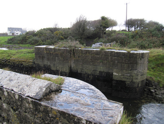 locklock · 798 yd
 Fulacht fia in Ballynamanagh EastFulacht fia · 902 yd
 Ballynamanagh Bridgebridge · 921 yd
 Rahaneena FortFairy fort / earthen ringfort · 1156 yd
 Site of Kilcolgan CastleCastle, tower house · 1.1 mi
 Bawn in Cregganna MoreBawn · 1.4 mi
 Drumacoo Monastic SiteHeritage attraction · 1.5 mi
 Loughaun WoodWood · 1.6 mi
 Kilcornan ForestWood · 1.7 mi
 MweenisharanIslet · 2.2 mi
 Mweenish PointHeadland · 3.0 mi
 Fiddaun IslandIslet · 3.4 mi
Other information
Photo: Credit not shown in the picture search · Rights wording not checked; contact us if this picture should be removed